
Drone solutions for inspection, mapping, safety, and industrial operations.
Explore DJI Enterprise drone solutions by industry. SK Vector helps teams match aircraft, sensors, software, accessories, and operating workflows to real missions across energy, infrastructure, public safety, natural resources, and site management.
Which industries use enterprise drones?
Enterprise drones are used wherever teams need safer access, faster site awareness, repeatable aerial data, or accurate maps. Common sectors include utilities, oil and gas, mining, surveying, construction, public safety, firefighting, agriculture, renewable energy, transportation, industrial facilities, and environmental management.
- Inspection teams use zoom and thermal imaging to assess assets from safer stand-off distances.
- Survey teams use RTK, LiDAR, and photogrammetry to produce maps, point clouds, and 3D models.
- Response teams use thermal awareness, lighting, and live video to understand incidents faster.
Find the right drone direction for your sector.
Each industry page will expand into dedicated workflows, recommended products, payload choices, common deliverables, and procurement considerations.
Power Utilities
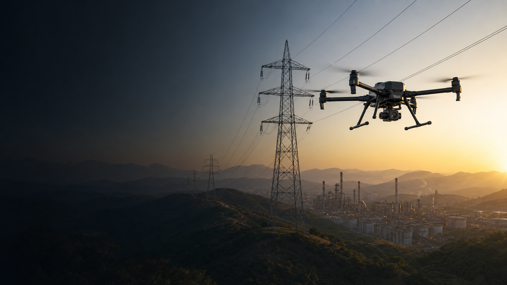
Inspect transmission lines, towers, substations, distribution assets, and vegetation corridors while reducing climbing and lengthy ground patrols.
Typical direction: Matrice 400 or Matrice 350 RTK with zoom, thermal, RTK, and optional LiDAR.
Explore Power Utility Solutions →
Oil & Gas
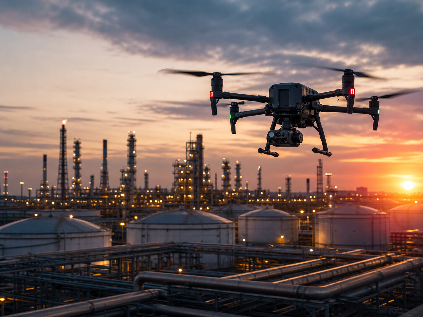
Observe tanks, pipelines, refineries, well sites, flare areas, and restricted zones from a safer stand-off distance.
Typical direction: rugged aircraft with thermal zoom, long-range planning, spotlight, and speaker options.
Explore Oil & Gas Solutions →
Mining
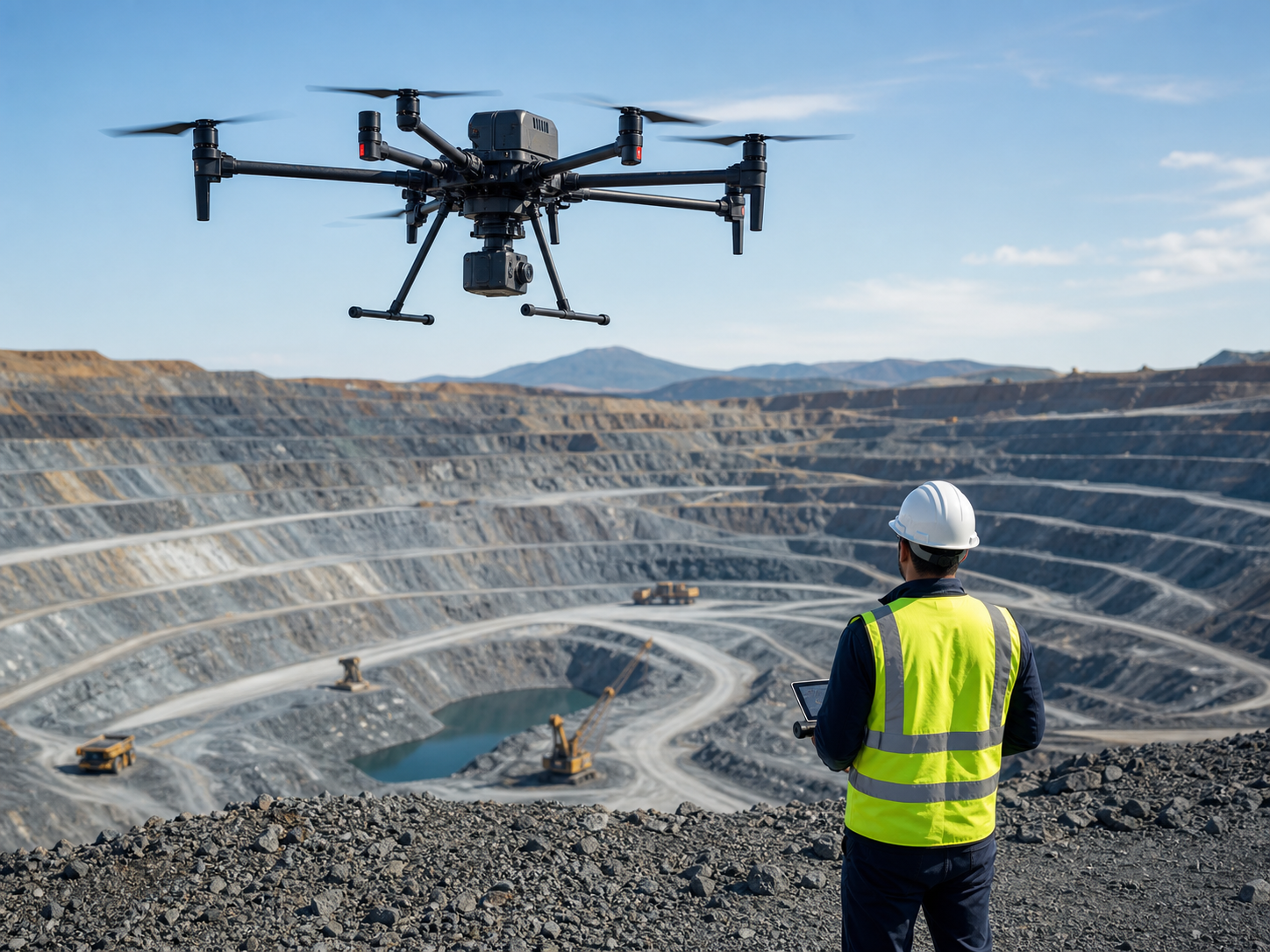
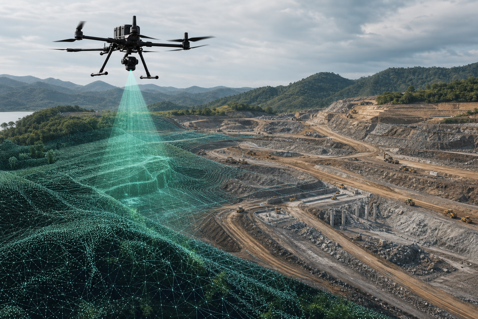
Map pits, calculate stockpiles, monitor slopes, document progress, and collect repeatable terrain data across large active sites.
Typical direction: RTK aircraft with LiDAR or photogrammetry payloads and survey software.
Explore Mining Solutions →
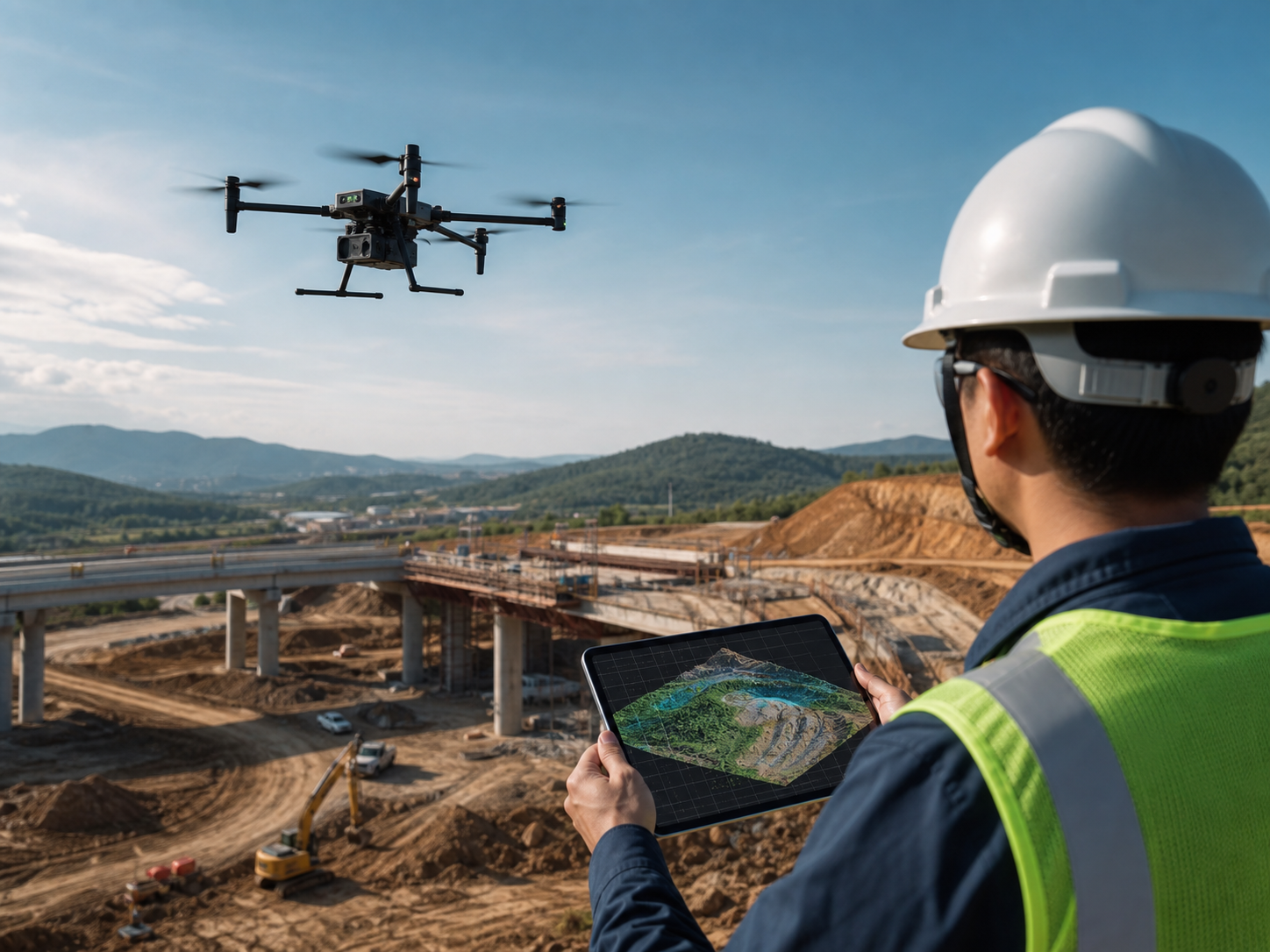
Surveying & Mapping
Create orthomosaics, point clouds, digital surface models, contours, and 3D records for planning and engineering teams.
Typical direction: Matrice 400, Matrice 350 RTK, Matrice 4E, or Mavic 3E based on site scale.
Explore Surveying & Mapping →
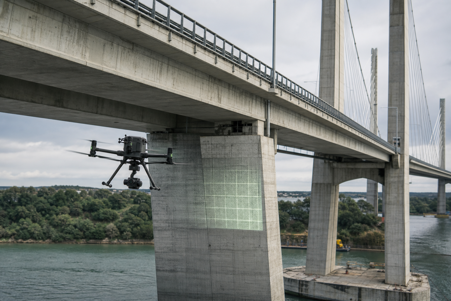
Construction & Infrastructure
Track progress, document earthworks, inspect bridges and towers, and give project teams a consistent visual and spatial record.
Typical direction: compact RTK mapping drones or Matrice platforms with zoom and survey payloads.
Explore Construction & Infrastructure →
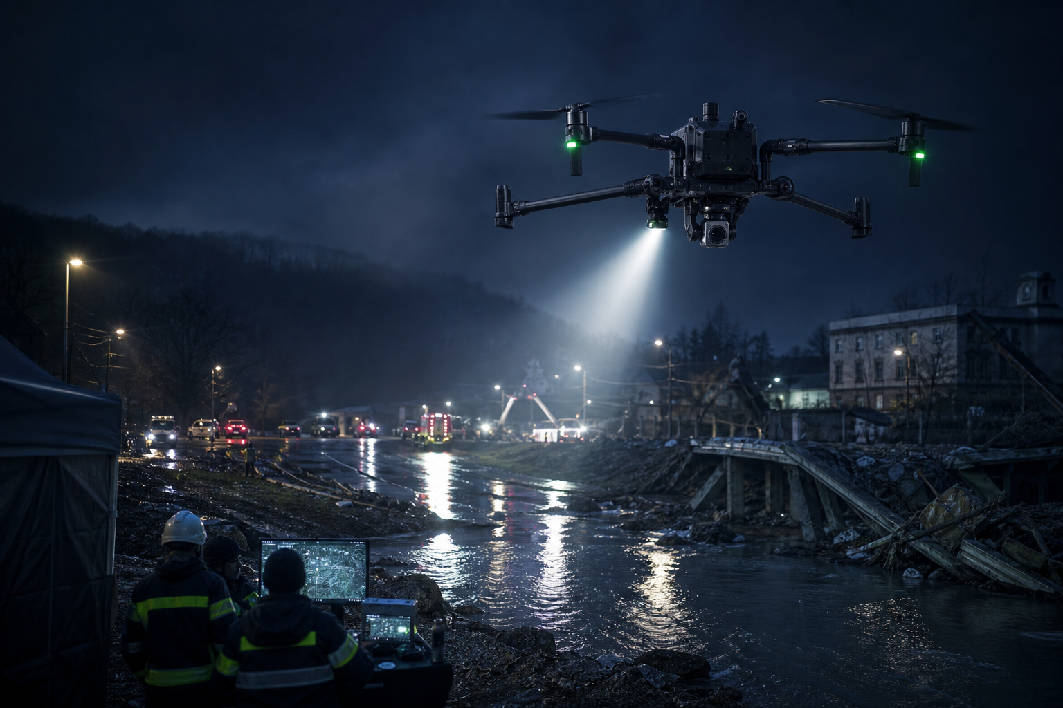
Public Safety & Law Enforcement
Support incident command, search operations, crowd awareness, perimeter observation, and rapid scene documentation.
Typical direction: Matrice 4T, Matrice 30T, or Matrice 400 with thermal, spotlight, and speaker.
Explore Public Safety Solutions →
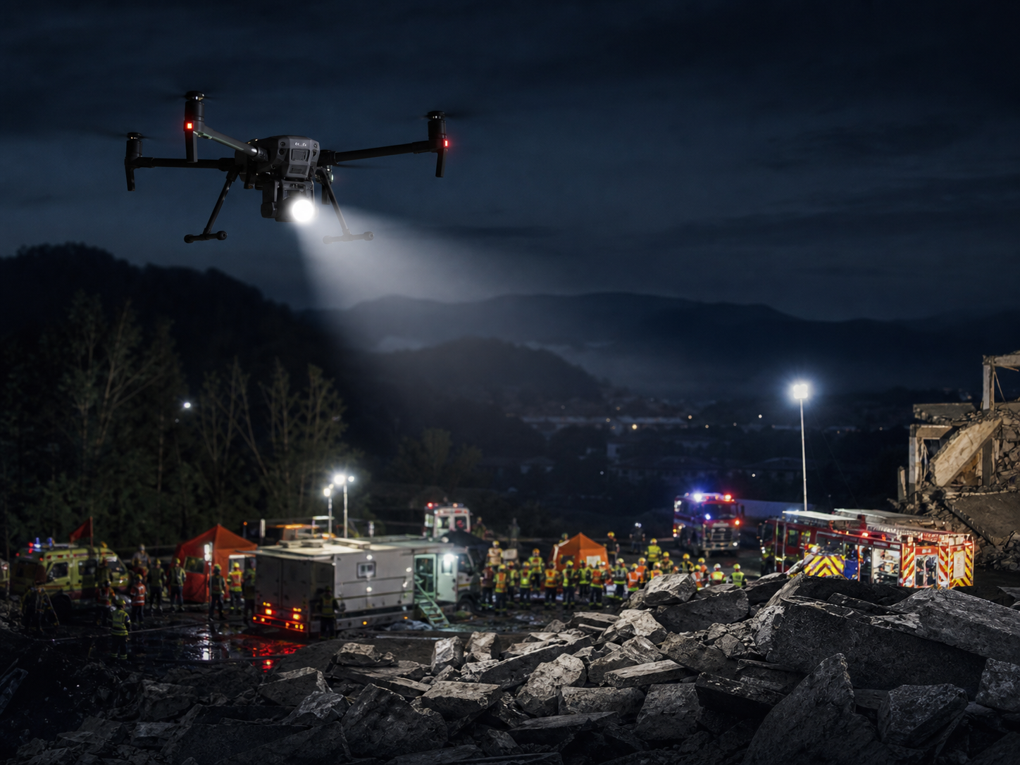
Firefighting & Emergency Response
Locate heat, assess fire spread, search low-visibility areas, illuminate scenes, and communicate from above during urgent missions.
Typical direction: rugged thermal aircraft with fast deployment, night capability, and live command tools.
Explore Firefighting Solutions →
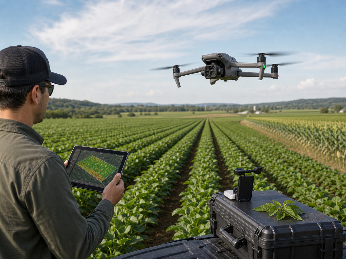
Agriculture & Forestry
Monitor crop vigor, map field variability, document plant health, assess forest areas, and support repeatable land-management decisions.
Typical direction: Mavic 3M for multispectral capture or RTK platforms for larger mapping projects.
Explore Agriculture & Forestry →
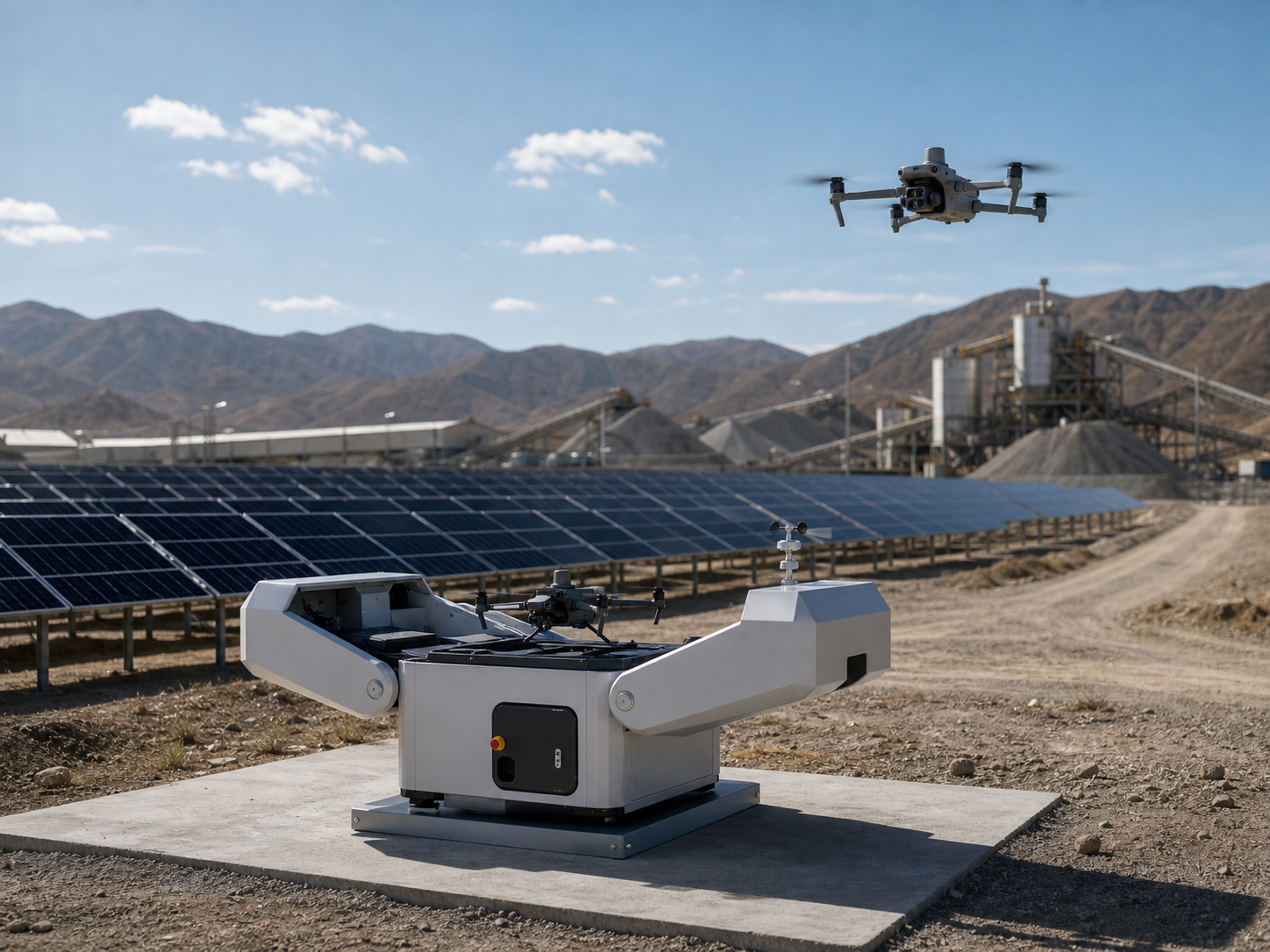
Renewable Energy
Inspect solar arrays, wind assets, substations, and site perimeters with visual, thermal, mapping, or automated patrol workflows.
Typical direction: thermal enterprise drones or Matrice 4D with Dock 3 for repeatable site monitoring.
Explore Renewable Energy Solutions →
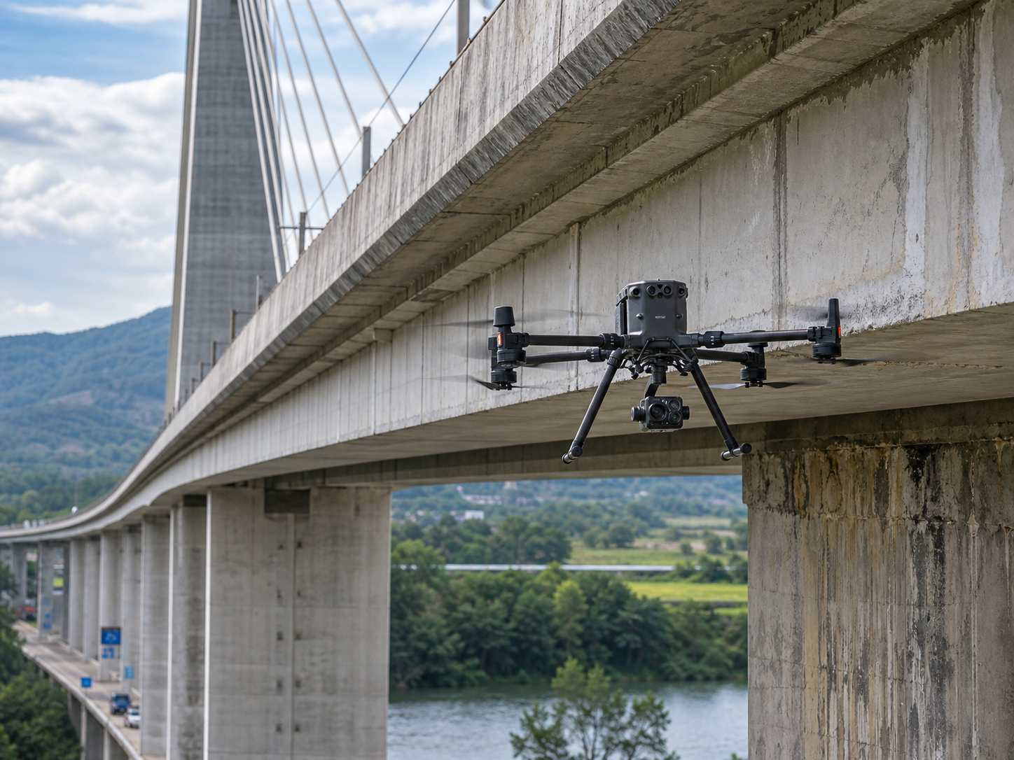
Transportation & Logistics
Inspect roads, rail, bridges, ports, yards, and logistics facilities while supporting asset records and operational visibility.
Typical direction: zoom and mapping configurations chosen by corridor length and required deliverable.
Explore Transportation & Logistics →
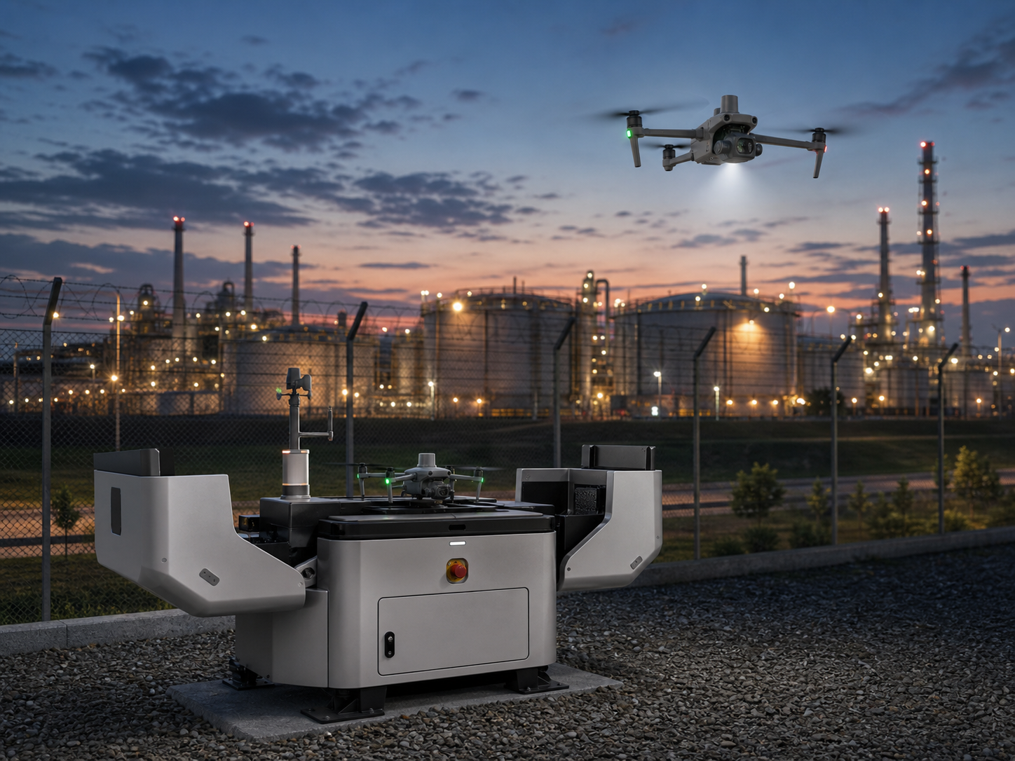
Industrial Facilities
Monitor plants, warehouses, industrial parks, roofs, stacks, perimeters, and hard-to-access assets with mobile or automated systems.
Typical direction: thermal zoom aircraft for mobile work or Dock 3 for scheduled remote operations.
Explore Industrial Facility Solutions →
Environmental & Water Management
Map coastlines and watersheds, observe erosion or flooding, document habitat, and build repeatable records for environmental programs.
Typical direction: RTK mapping, LiDAR, multispectral, or thermal tools selected by the monitoring question.
Explore Environmental & Water Solutions →
Not sure which industry page fits? Start with the job.
Many projects cross industry boundaries. The required output and deployment model usually identify the right solution faster than a sector label alone.
See fine detail or heat from a safer distance
Common for utilities, energy, buildings, industrial facilities, bridges, and emergency scenes.
Core capabilities: zoom, thermal, RTK, rugged aircraft.
Measure land, volume, assets, or change
Common for survey, mining, construction, agriculture, environmental work, and corridor projects.
Core capabilities: RTK, LiDAR, photogrammetry, multispectral.
Understand an incident and coordinate faster
Common for public safety, firefighting, search and rescue, disaster assessment, and site security.
Core capabilities: thermal, live video, spotlight, speaker.
Repeat the same route without a field crew on every flight
Common for solar farms, substations, industrial parks, mines, ports, and fixed infrastructure.
Core capabilities: Dock 3, Matrice 4D/4TD, FlightHub 2.
From industry need to a practical drone configuration.
A complete solution is more than an aircraft. It connects the mission, sensor, deployment method, data workflow, and field support.
Confirm the mission
Industry, asset type, site size, risk, operating distance, environment, and expected frequency.
Select the sensing method
Visual zoom, thermal, LiDAR, photogrammetry, multispectral, spotlight, speaker, or combinations.
Choose the platform
Portable compact drone, rugged response aircraft, flagship multi-payload platform, or dock automation.
Plan the output
Inspection evidence, maps, models, point clouds, reports, live command, or repeatable monitoring records.
Common questions about enterprise drone solutions.
What is an enterprise drone solution?
An enterprise drone solution combines an aircraft, mission sensor or payload, positioning tools, batteries, software, and an operating workflow for a specific professional task such as inspection, mapping, emergency response, or automated monitoring.
Which industries benefit most from drones?
Industries benefit most when work involves hazardous access, large or remote areas, frequent repeat inspections, time-sensitive awareness, or a need for accurate spatial data. Utilities, oil and gas, mining, surveying, construction, public safety, agriculture, renewable energy, transportation, and industrial facilities are common examples.
How do I choose between thermal, zoom, LiDAR, and photogrammetry?
Choose thermal for temperature patterns, zoom for detailed visual inspection from a distance, LiDAR for terrain and structures where elevation or vegetation penetration matters, and photogrammetry for image-based maps and 3D models. Some projects need more than one sensor.
When should a project use an automated drone dock?
A dock-based system is most useful for fixed sites that need scheduled routes, repeatable monitoring, remote task execution, and centralized fleet visibility. Mobile teams and changing sites usually benefit more from portable field deployment.
Can SK Vector help before we know the exact drone model?
Yes. Start with the industry, asset, site size, required output, operating environment, and project timeline. SK Vector can then help narrow the aircraft, payload, software, accessories, and deployment direction.
Tell us the industry and mission. We will help narrow the solution.
Share what must be inspected, mapped, monitored, or found; the site conditions; the required output; and how often your team expects to fly.