

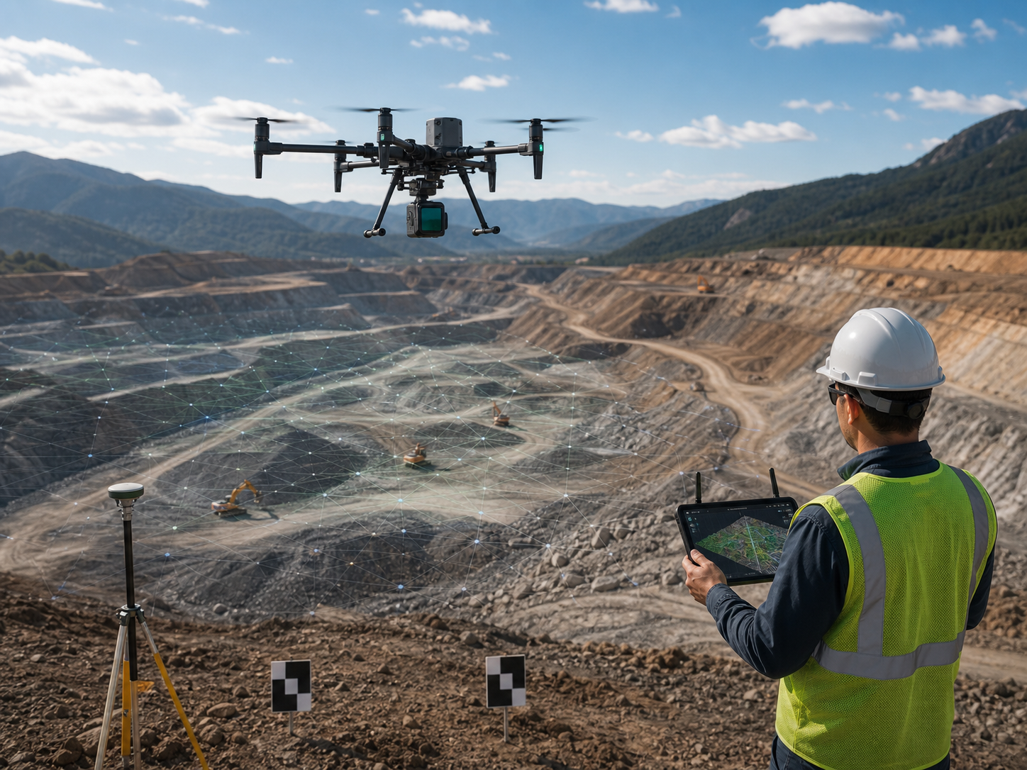
Build clearer records for land, water, and environmental decisions.
Use timely aerial imagery, mapping, terrain models, and repeat observations to support water-resource work, watershed context, flood planning, habitat records, restoration, and compliance documentation.
How do drones support environmental and water management teams?
Enterprise drones can provide controlled aerial visual, thermal, mapping, and documentation context for defined operational tasks. Their value comes from an appropriate aircraft, trained people, clear procedures, sound data handling, and qualified interpretation – not the aircraft alone.
- Reduce unnecessary exposure while teams collect context for difficult-to-access areas.
- Create repeatable records to support planning, review, maintenance, or field decisions.
- Share approved outputs with the people responsible for the next action.
Choose the workflow before the aircraft.
Each mission needs appropriate operating conditions, safety controls, approvals, and qualified review.
Surface-water and shoreline mapping
Collect controlled aerial context for this defined operational question, then review it through the appropriate team workflow.
Floodplain and drainage context
Collect controlled aerial context for this defined operational question, then review it through the appropriate team workflow.
Habitat and restoration records
Collect controlled aerial context for this defined operational question, then review it through the appropriate team workflow.
Outfall and infrastructure observations
Collect controlled aerial context for this defined operational question, then review it through the appropriate team workflow.
Erosion and change documentation
Collect controlled aerial context for this defined operational question, then review it through the appropriate team workflow.
Repeat environmental monitoring plans
Collect controlled aerial context for this defined operational question, then review it through the appropriate team workflow.
Match the platform to the required output.
DJI Matrice 4E
Portable mapping direction for environmental site records.
DJI Matrice 350 RTK
Professional platform for mapping, LiDAR, and compatible payload workflows.
DJI Matrice 400
Higher-capability direction for larger areas and flexible payload needs.
DJI Matrice 4D + Dock 3
Fixed-site direction for suitable recurring collection.
Common environmental and water management drone questions.
How do drones support water management?
They can collect aerial maps, imagery, terrain context, and repeat observations for qualified water-resource and environmental workflows.
Can drone data predict flooding?
It can support terrain and site analysis, but flood forecasting requires qualified models, data, and professional judgment.
What is useful for habitat monitoring?
The appropriate output may be imagery, orthomosaics, terrain models, vegetation context, or repeat records depending on the monitoring question.
Can drones monitor outfalls or shorelines?
They can support authorized visual documentation where access, regulations, environmental conditions, and operating procedures allow.
How should environmental data be managed?
Define collection, location control, processing, review, retention, privacy, and reporting requirements before flight.
Start with the site and operational decision.
SK Vector can help define an aircraft, sensor, software, accessory, and deployment direction for the intended workflow.