
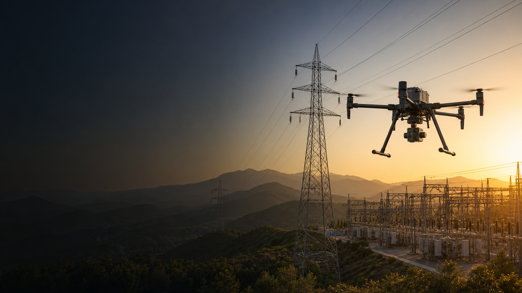
Make industrial inspection records safer and more repeatable.
Support facility teams with visual, thermal, zoom, mapping, and repeat-route data for complex equipment, structures, access areas, and planned maintenance workflows.
How do drones support industrial facilities teams?
Enterprise drones can provide controlled aerial visual, thermal, mapping, and documentation context for defined operational tasks. Their value comes from an appropriate aircraft, trained people, clear procedures, sound data handling, and qualified interpretation – not the aircraft alone.
- Reduce unnecessary exposure while teams collect context for difficult-to-access areas.
- Create repeatable records to support planning, review, maintenance, or field decisions.
- Share approved outputs with the people responsible for the next action.
Choose the workflow before the aircraft.
Each mission needs appropriate operating conditions, safety controls, approvals, and qualified review.
Equipment and structure visual review
Collect controlled aerial context for this defined operational question, then review it through the appropriate team workflow.
Thermal context for qualified inspection
Collect controlled aerial context for this defined operational question, then review it through the appropriate team workflow.
Tank, roof, and vertical asset records
Collect controlled aerial context for this defined operational question, then review it through the appropriate team workflow.
Facility perimeter and access checks
Collect controlled aerial context for this defined operational question, then review it through the appropriate team workflow.
Baseline-route repeat inspections
Collect controlled aerial context for this defined operational question, then review it through the appropriate team workflow.
Maintenance planning documentation
Collect controlled aerial context for this defined operational question, then review it through the appropriate team workflow.
Match the platform to the required output.
DJI Matrice 30T
Rugged thermal and zoom direction for mobile site assessments.
DJI Matrice 4T
Compact direction for rapid equipment and structure review.
DJI Matrice 400
Higher-capability platform for payload and specialized inspection needs.
DJI Matrice 4D + Dock 3
Fixed-site direction for suitable repeat inspection routes.
Common industrial facilities drone questions.
Can drones inspect industrial facilities?
They can support approved visual, thermal, and mapping workflows for selected equipment, structures, and site areas.
Can thermal data diagnose a fault?
It provides context for qualified review. It does not replace maintenance, engineering, safety, or process procedures.
Why use repeat routes?
A controlled baseline route can make comparison and record management more consistent.
Can drones detect gas leaks?
Only compatible specialist sensors and qualified procedures may support that workflow; confirm payload, operating, and safety requirements.
Can a dock be used at a facility?
It may support suitable recurring missions after a full site, network, route, safety, and regulatory assessment.
Start with the site and operational decision.
SK Vector can help define an aircraft, sensor, software, accessory, and deployment direction for the intended workflow.