

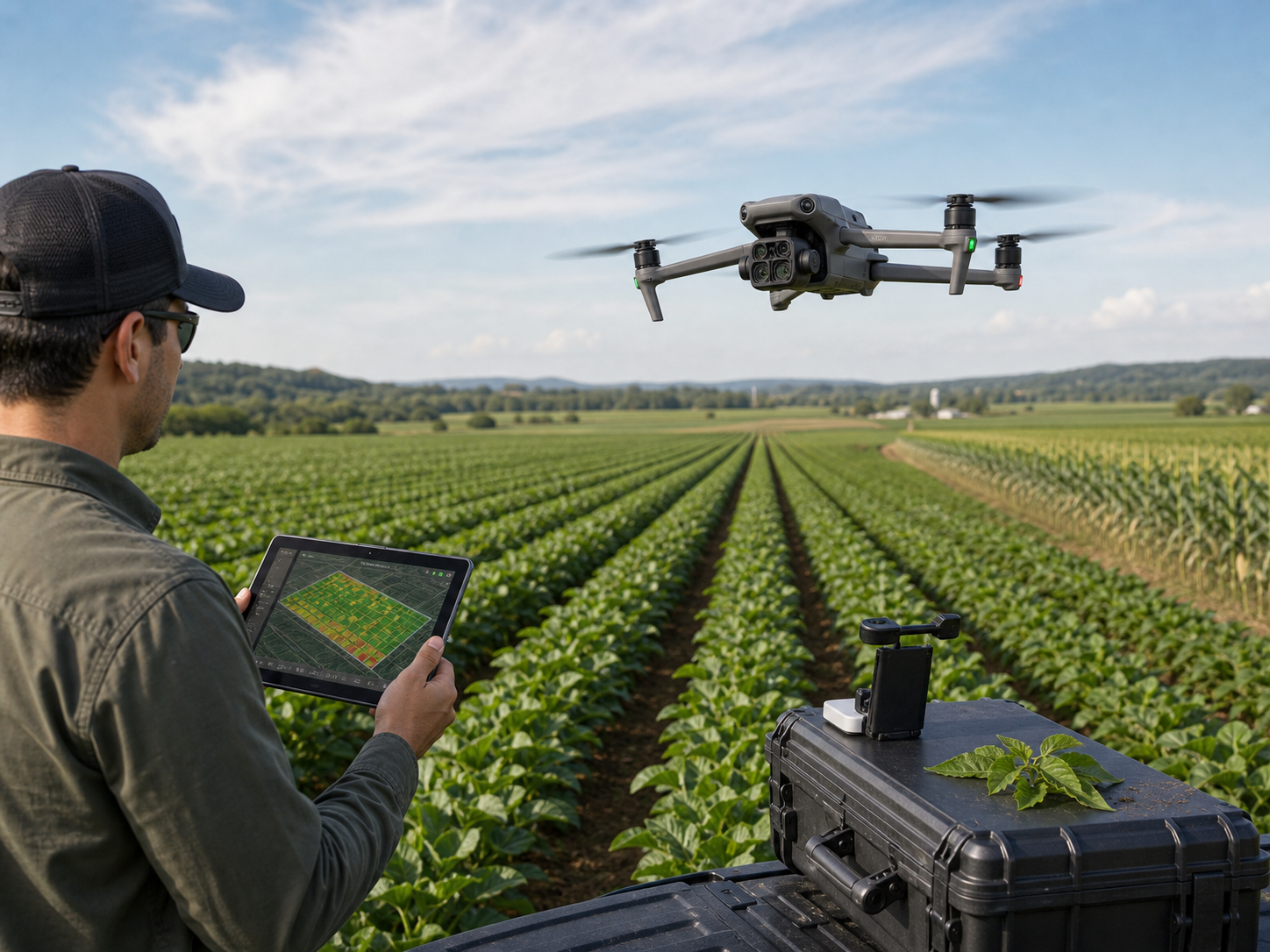
See crop and forest conditions with timely aerial data.
Build repeatable field, orchard, plantation, and forest workflows for visual mapping, multispectral observation, inventory, terrain context, and seasonal change records.
How do drones support agriculture and forestry?
Drones help teams collect repeatable aerial imagery, multispectral context, terrain data, and forest records over fields and managed landscapes. Those datasets can support scouting, planning, inventory, treatment decisions, and documentation when interpreted by qualified agronomy, forestry, and land-management teams.
- Identify where to direct field visits, sampling, and follow-up checks.
- Build visual and multispectral records of crop, canopy, access, and terrain conditions.
- Document changes using consistent missions, data controls, and ground reference where needed.
Collect data for the operational question.
Match the camera, positioning, flight plan, processing, and field interpretation to the decision that follows.
Field-condition context
Capture visual records to prioritize field visits and investigate observed variation.
Vegetation observations
Collect calibrated imagery for qualified analysis of crop and canopy patterns.
Stand and row records
Map rows, plants, access, and management areas with repeatable imagery.
Inventory and canopy context
Build imagery, models, and selected point-cloud records for managed forests.
Drainage and land form
Produce site context for water movement, access planning, and earthwork review.
Repeatable comparisons
Use controlled collection methods to compare documented conditions over time.
Post-event documentation
Record visible conditions after weather, pests, fire, or other site events.
Routine coverage planning
Assess portable or dock-based collection only where site and procedures are suitable.
Select for the data product, not the airframe alone.
DJI Mavic 3M
Portable direction for multispectral crop observation and field coverage workflows.
DJI Matrice 4E
Compact mapping direction for high-resolution field and site documentation.
DJI Matrice 400
Direction for larger-area imaging, LiDAR, and compatible specialist payload workflows.
DJI Matrice 4D + Dock 3
Fixed-site direction for suitable recurring collection with assessed infrastructure.
Agriculture and forestry drone questions.
Can drone imagery diagnose crop disease?
Imagery can identify patterns that merit investigation, but it does not independently diagnose causes. Use qualified agronomy and ground observations for decisions.
What does multispectral imagery add?
It adds bands beyond normal visible imagery and can support vegetation analysis when collection, calibration, processing, and interpretation are appropriate.
Can drones help with forest inventory?
They can collect imagery, terrain context, and compatible LiDAR or photogrammetry data to support qualified inventory and management workflows.
How often should a farm be flown?
Frequency depends on crop stage, weather, management question, field conditions, operating approvals, and the output the team needs.
Can a dock collect routine farm data?
It may support suitable fixed-area workflows after site, weather, network, route, regulatory, and operational assessment.
Start with the crop, forest, or land-management decision.
Tell SK Vector about the site, output, seasonality, sensor requirement, and team workflow.