

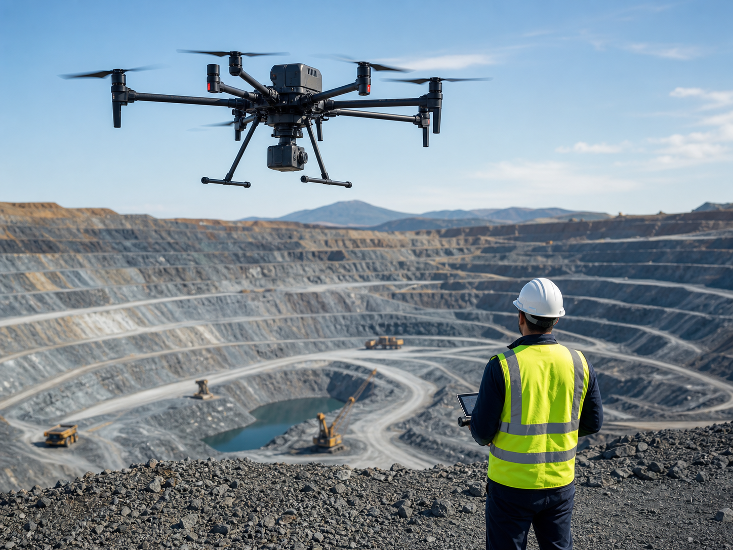
Mine survey, stockpile measurement, and site awareness from the air.
Build repeatable aerial workflows for terrain mapping, stockpile records, highwall and slope observation, tailings documentation, construction progress, haul-road awareness, and emergency assessment across mines and quarries.
How are drones used in mining?
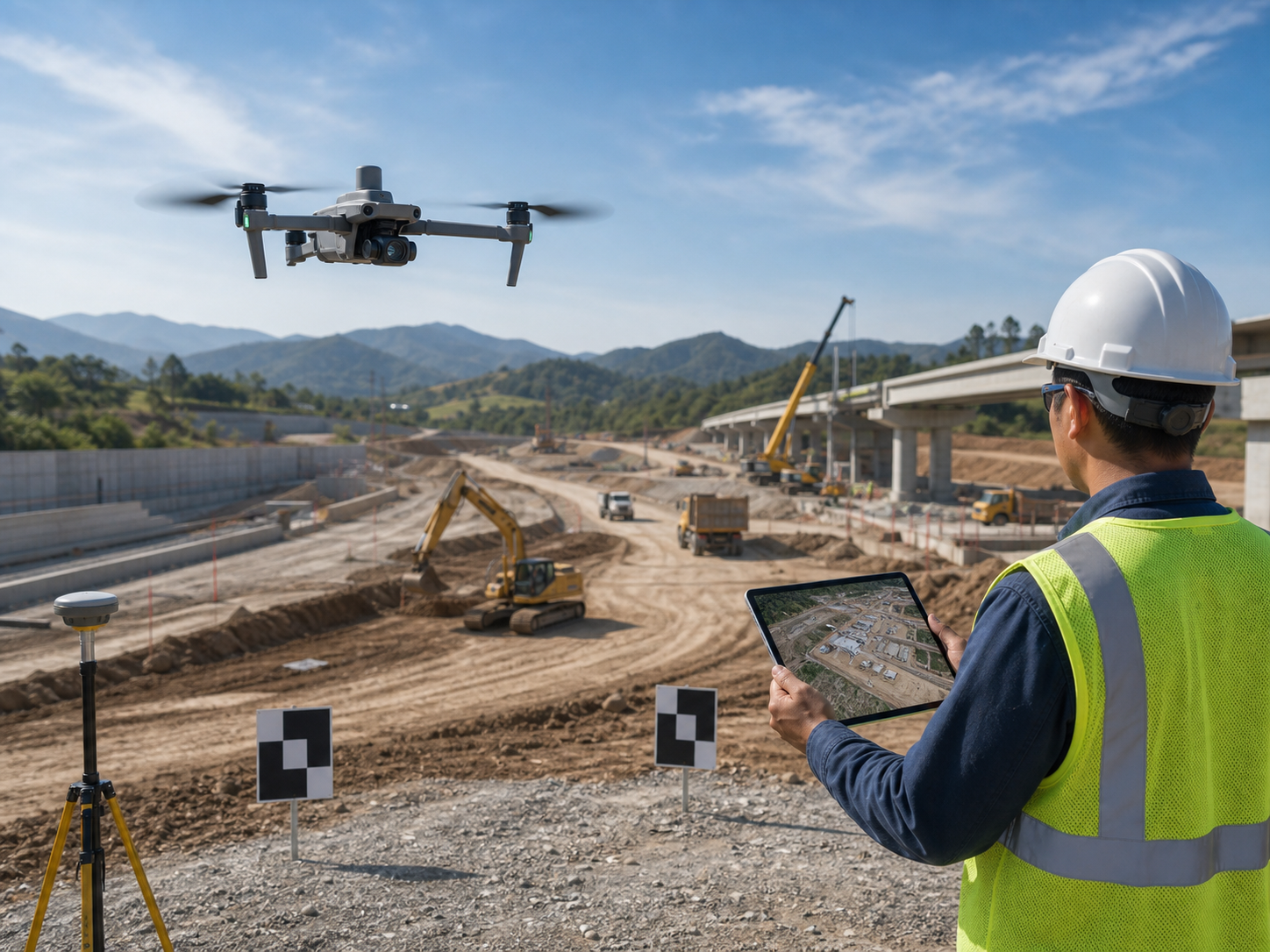
Mining and quarry teams use enterprise drones to collect repeatable terrain data, support stockpile records, document site progress, observe highwalls and haul roads, map tailings areas, and improve aerial awareness. A drone program supports measurement and inspection workflows, but survey control, volume calculations, geotechnical interpretation, and safety decisions must follow site procedures and qualified professional review.
- Reduce time spent walking large, uneven, or active areas for initial site observation and routine documentation.
- Capture a consistent visual and spatial record for planning, production review, engineering, and site-change comparison.
- Improve operational awareness around haul roads, highwalls, stockpiles, tailings, and defined restricted areas.
Match the data workflow to the mine task.
Survey, production, engineering, safety, and operations teams often need different outputs from the same site. The flight plan should be designed around the decision the data must support.
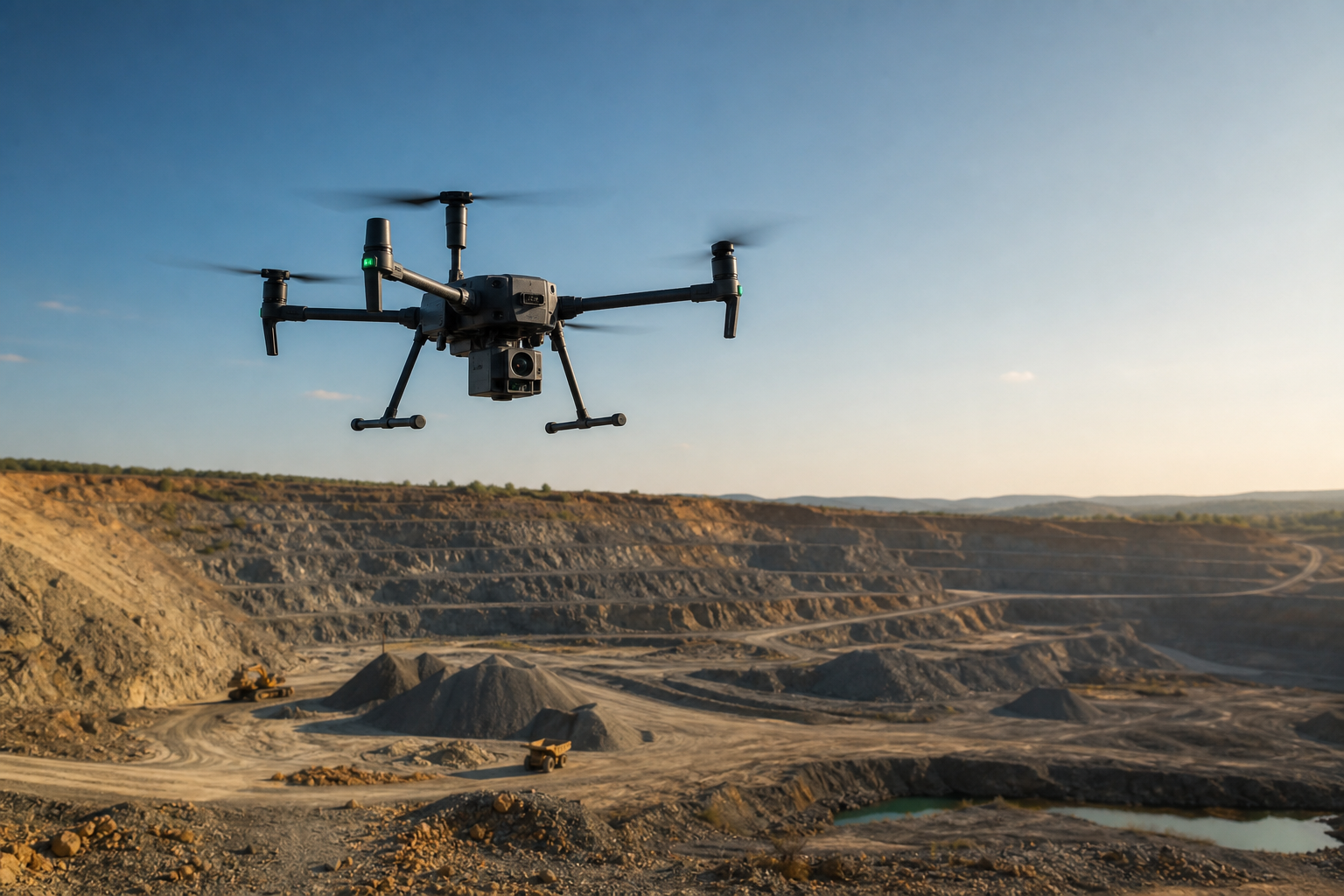
Terrain and mine-site mapping
Capture site context, benches, roads, pits, working faces, and terrain changes for planning and engineering documentation.
Typical output: orthomosaics, 3D models, terrain products, and repeat site records.
Stockpile and earthwork records
Collect planned image or LiDAR data for stockpile, overburden, aggregate, and earthwork documentation workflows.
Typical output: controlled volume records, surface models, imagery, and change comparisons.
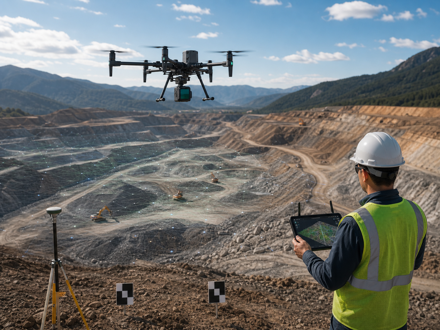
High-detail spatial capture
Build point clouds and image-based models where terrain detail, vegetation, structures, or engineering context inform the project.
Typical output: point clouds, 3D models, contours, surface data, and engineering records.
Slope and highwall observation
Provide aerial observation and repeat visual documentation of highwalls, benches, access areas, and changing slope conditions.
Typical output: visual records, mapped context, repeat imagery, and prioritized observation locations.
Progress and haul-road awareness
Document construction, road conditions, work zones, equipment yards, entrances, and operational change across large sites.
Typical output: progress images, route records, site overviews, and recurring operational documentation.
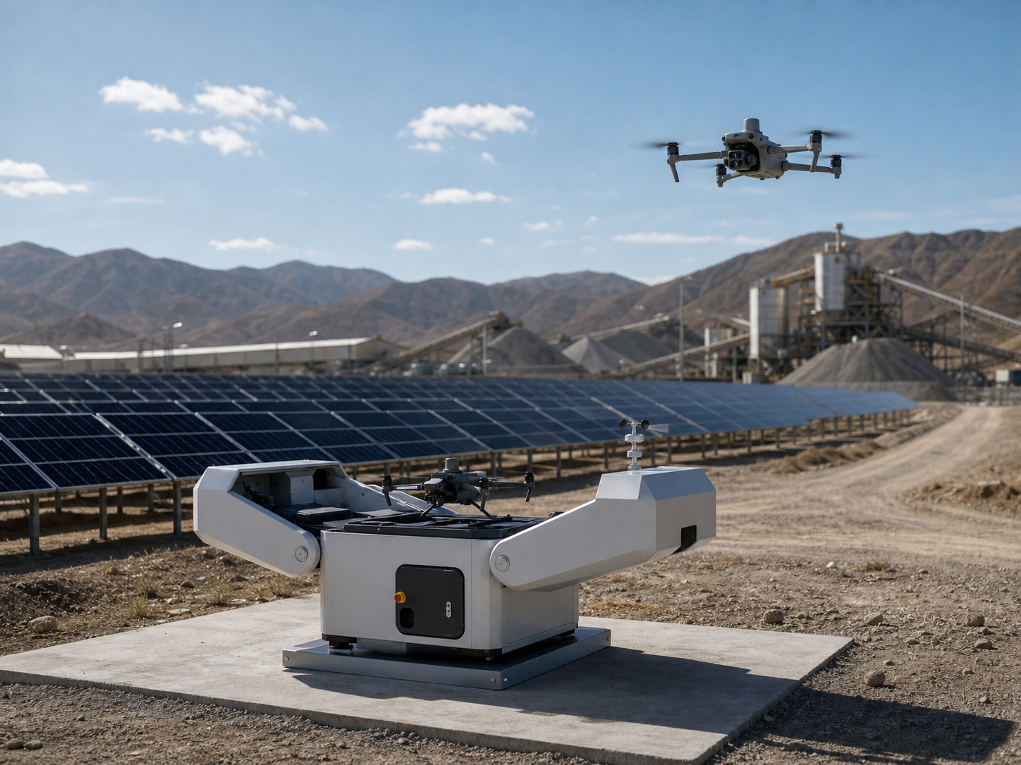
Scheduled mine-site patrol
Run repeatable remote patrol routes around selected fixed areas, haul-road sections, site entrances, or industrial assets after site assessment.
Typical output: patrol history, remotely reviewed records, repeat routes, and incident awareness.
From flight plan to a decision-ready site record.
The quality of a mining deliverable depends on control, capture planning, processing, review, and how the result is used—not on the drone alone.
Set the question
Confirm the site area, required output, accuracy expectation, control approach, repeat frequency, and decision owner.
Design capture
Set flight coverage, overlap, terrain following, observation points, RTK or control workflow, and site safety process.
Collect repeatable data
Use consistent methods for image, LiDAR, thermal, or video capture under suitable site and weather conditions.
Create the deliverable
Process maps, models, point clouds, surfaces, or records with the appropriate software and quality checks.
Support site action
Compare change, share records with qualified teams, and use findings to plan survey, engineering, maintenance, or safety follow-up.
Choose the configuration by mining task, not by model name.
Selection depends on site size, data deliverable, accuracy requirement, control method, terrain, weather, site safety, local regulations, and the team’s operating workflow.
| Mining mission | Primary data need | Deployment direction | Typical product direction |
|---|---|---|---|
| Large mine or quarry mappingMap extensive terrain, pits, benches, roads, and working areas. | RTK, photogrammetry or LiDAR, suitable processing. | Professional multi-payload mapping platform. | Matrice 400 or Matrice 350 RTK with L2/P1, D-RTK 3, and appropriate software. |
| Stockpile and earthwork recordsCollect repeatable surface data for controlled volume and change workflows. | Planned image capture, RTK or control, processing and review. | Mapping platform sized to the site and output. | Matrice 400, Matrice 350 RTK, Matrice 4E, or Mavic 3E depending on coverage and requirement. |
| Highwall and slope observationDocument visible conditions and map context from safer viewpoints. | Zoom or mapping data, repeat visual records, site context. | Field-deployed platform with appropriate sensing. | Matrice 400/M350 RTK for professional data capture; compact platforms for selected visual tasks. |
| Progress and operational documentationRecord roads, work zones, equipment yards, and construction change. | Image, video, mapping, and repeat site records. | Compact mapping or professional platform. | Matrice 4E or Mavic 3E for lighter workflows; M400/M350 RTK for larger or payload-led missions. |
| Fixed-area recurring patrolMonitor selected access, road, asset, or operational areas at a fixed mine site. | Repeat routes, remote review, live awareness. | Dock automation after site assessment. | Matrice 4D with Dock 3 and FlightHub 2 workflow. |
Enterprise platforms for mining data and operations.
These are starting points. Final selection needs confirmation of data requirements, payload compatibility, site conditions, local regulations, and field workflow.
DJI Matrice 400
For larger sites, professional payloads, terrain capture, LiDAR, photogrammetry, and high-capability mining workflows.
Best fit: broad coverage and payload flexibility are key project requirements.
View Matrice 400 →
DJI Matrice 350 RTK
A proven direction for LiDAR, photogrammetry, RTK workflows, terrain modeling, and mine survey documentation.
Best fit: teams requiring a mature professional mapping ecosystem.
View Matrice 350 RTK →
DJI Matrice 4E
Compact mapping direction for selected progress, site documentation, and shorter-coverage geospatial workflows.
Best fit: portability and rapid daily deployment matter most.
View Matrice 4 Series →
DJI Matrice 4D + Dock 3
Scheduled remote patrol for selected fixed mine-site zones where the infrastructure and operating conditions are suitable.
Best fit: recurring routes and remote awareness at a fixed site.
View Matrice 4D →
Choose the output before choosing the drone.
Orthomosaics and site records
Repeatable image-based overviews for mine plans, progress records, site-change review, and field coordination.
Surfaces and 3D context
Terrain products, 3D models, and point clouds for qualified teams using appropriate processing and checks.
Stockpile documentation
Controlled data inputs supporting volume records and comparisons under the project’s survey and quality process.
Repeat site awareness
Live views, haul-road records, patrol history, incident documentation, and recurring operational visibility.
Common questions about drones for mining and quarry work.
What can drones do for mining sites?
Drones can support terrain mapping, progress documentation, stockpile records, site imagery, highwall observation, haul-road awareness, tailings documentation, and recurring patrols. The best workflow depends on the required output, survey control, site conditions, and qualified review process.
Can a drone measure stockpile volume?
A drone can collect planned spatial data that supports stockpile-volume workflows. Accuracy depends on control, capture method, processing, surface definition, quality checks, and the project’s survey procedures. Volume results should be reviewed within the mine’s approved measurement process.
Is LiDAR or photogrammetry better for mining?
It depends on the terrain, vegetation, required detail, desired output, processing workflow, and accuracy requirement. LiDAR is often useful for dense terrain and point-cloud workflows, while photogrammetry is effective for image-based maps and models. Some projects use both.
Can drones assess mine slope safety?
Drones can provide visual and spatial context for highwalls, benches, and slopes, but they do not replace geotechnical assessment, monitoring instruments, engineering judgment, or site safety procedures.
When is a drone dock useful at a mine?
A dock is useful for suitable fixed mine sites where teams need recurring routes and remote visibility around defined areas. It requires assessment of site infrastructure, network, weather exposure, route safety, airspace, regulations, and operating procedures.
Tell us the site, data output, and operating workflow.
SK Vector can help narrow the aircraft, payload, RTK tools, software, batteries, and deployment direction for mining survey, mapping, and operational awareness projects.