
Measure site change, document progress, and see more from above.
Build repeatable drone workflows for existing-condition surveys, earthworks, stockpiles, progress reporting, bridge and asset inspection, site logistics, and close-out records.
How are drones used in construction and infrastructure?
Construction teams use enterprise drones to create repeatable visual and spatial records for existing conditions, surveys, earthwork progress, stockpiles, site coordination, structure inspection, and handover documentation. Accuracy and suitability depend on the capture method, positioning, control, processing, validation, contract requirements, and qualified review.
- Capture a consistent site record for planning, scheduling, engineering, quality, and stakeholder communication.
- Reduce time spent accessing large, changing, elevated, or difficult-to-reach areas for initial observation and documentation.
- Support controlled measurement and progress workflows with the required survey and quality procedures.
Choose the data workflow by the project decision.
Mapping, measurement, observation, and reporting need different capture plans. Select the required deliverable and validation method before selecting an aircraft.
Site maps and survey context
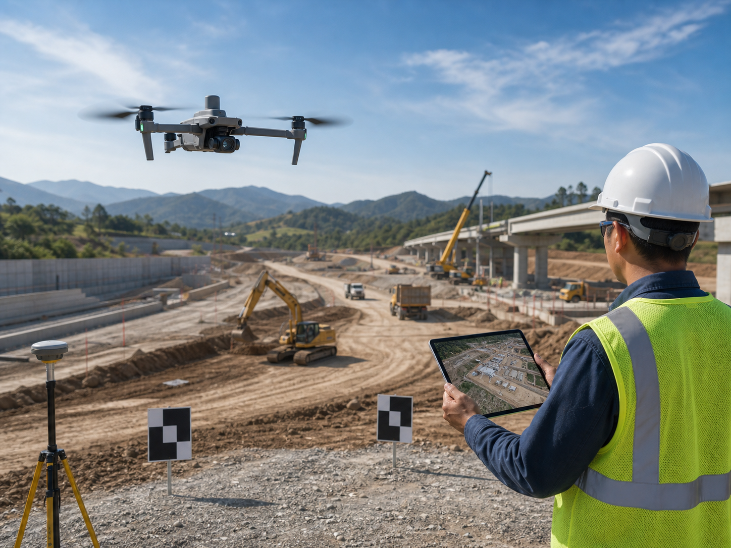
Capture planned imagery for development sites, roads, structures, access, and pre-construction documentation.
Typical output: orthomosaics, models, terrain context, and site records.
Repeat project capture
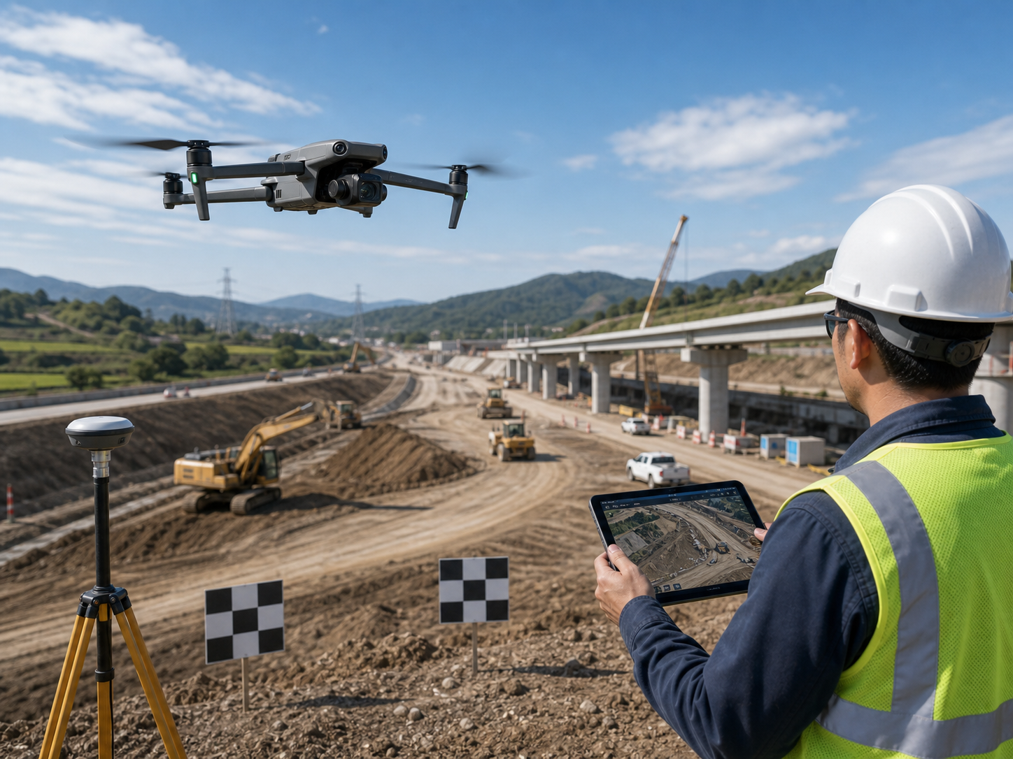
Build a consistent chronology of work zones, milestones, site logistics, and visible construction change.
Typical output: progress imagery, maps, 3D context, and comparison records.
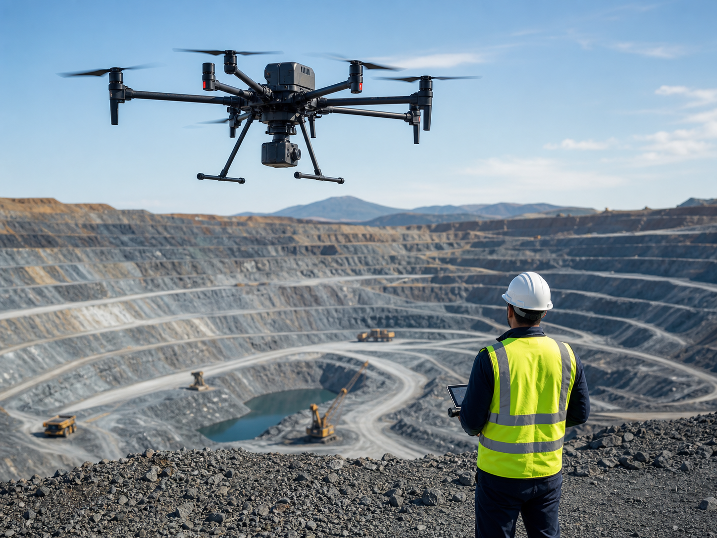
Grading and material records
Collect controlled spatial data for stockpiles, excavation, embankment, grading, and volume-supporting workflows.
Typical output: surfaces, point clouds, volume records, and change comparison.
Bridge and structure observation
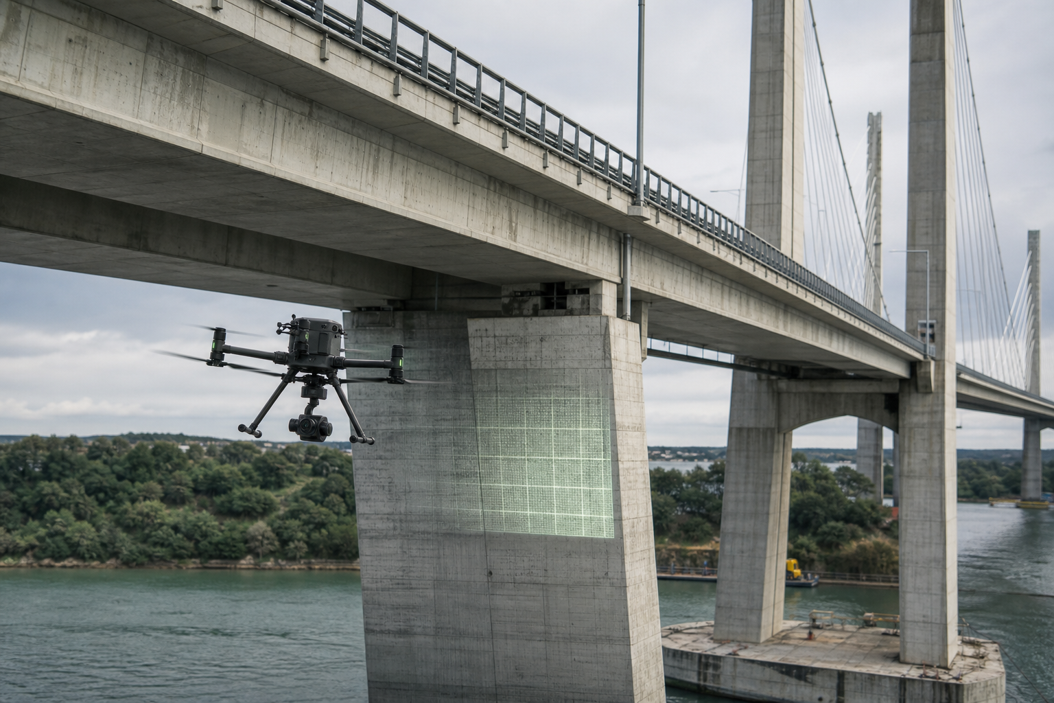
Observe visible conditions on bridges, towers, roofs, facades, and hard-to-access assets from safer stand-off positions.
Typical output: inspection imagery, video, mapped context, and observation records.
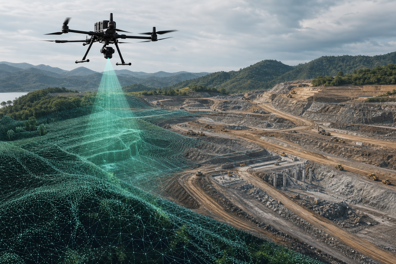
Terrain and complex site detail
Collect point-cloud data where terrain detail, vegetation, structures, or spatial context require an appropriate LiDAR workflow.
Typical output: point clouds, terrain models, contours, and spatial context.
Handover and asset records
Document selected completed assets, routes, structures, and site conditions for records, maintenance planning, or stakeholder review.
Typical output: imagery, models, asset context, and handover documentation.
From field plan to a reviewed project record.
Reliable construction data connects the deliverable, site control, capture plan, processing, validation, and project decision.
Set the deliverable
Confirm project decision, output, coordinate system, tolerance, frequency, stakeholder, and required format.
Design site capture
Review access, safety, hazards, overlap, terrain, control, work zones, schedule, and site operating procedure.
Collect repeatable data
Use consistent image, LiDAR, thermal, video, or mapping methods under suitable site conditions.
Create the record
Process maps, models, point clouds, surfaces, and media using the appropriate software and quality settings.
Validate before use
Review completeness, control, checkpoints, surfaces, media, and outputs before they inform project decisions.
Enterprise platforms for construction data and inspection.
These are starting points. Confirm payload compatibility, control method, site safety, software, regulations, and project requirements before procurement.
DJI Matrice 400
For large sites, multi-payload workflows, LiDAR, photogrammetry, mapping, and inspection direction.
Best fit: broad coverage and payload flexibility.
View Matrice 400 →
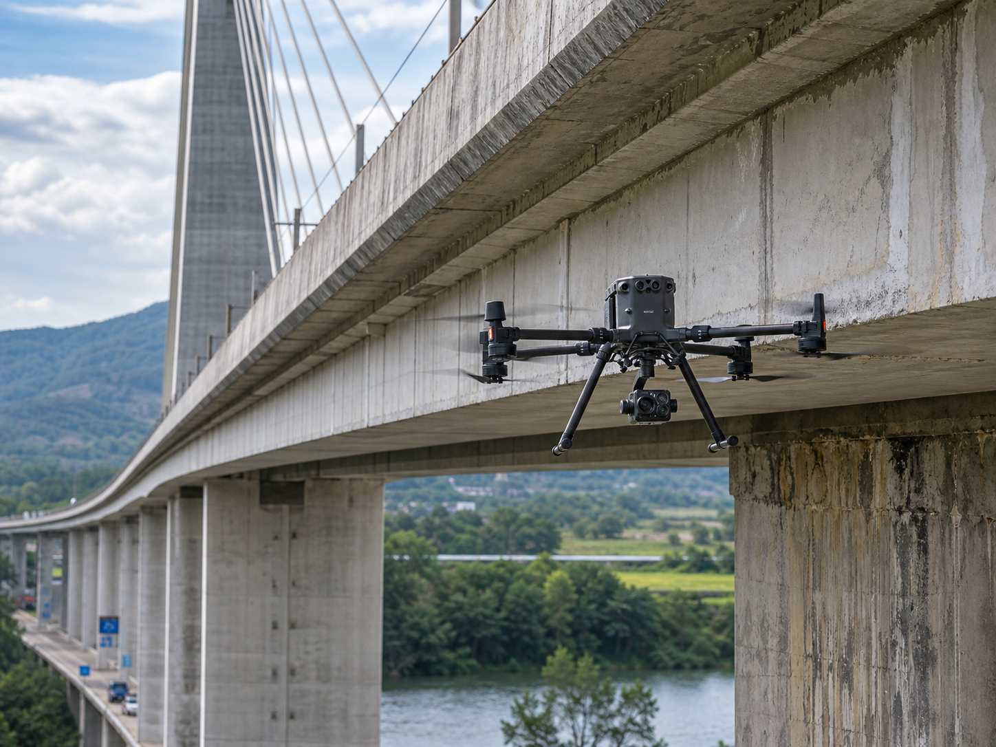
DJI Matrice 350 RTK
Established direction for RTK, LiDAR, photogrammetry, mapping, and selected infrastructure inspection.
Best fit: professional teams needing a mature ecosystem.
View Matrice 350 RTK →
DJI Matrice 4E
Portable mapping direction for selected site capture, progress records, and rapid daily deployment.
Best fit: portability and fast site setup.
View Matrice 4 Series →
DJI Mavic 3E
Lightweight direction for selected compact mapping and documentation workflows with appropriate planning and review.
Best fit: small areas and portable field work.
View Mavic 3 Enterprise →
Define the project output before flying.
Orthomosaics and basemaps
Georeferenced image products for planning, coordination, work-zone context, and repeat site records.
Terrain and earthworks
Surfaces, contours, and volume-supporting data under the project survey and quality process.
3D context and point clouds
Image-based and LiDAR-derived models for qualified teams using appropriate processing and checks.
Progress and handover evidence
Repeat imagery, site change, asset context, inspection observations, and close-out documentation.
Common questions about drones for construction and infrastructure.
Can drones measure construction earthworks?
Drones can collect planned spatial data that supports earthwork, stockpile, surface, and change workflows. Results depend on control, capture method, processing, surface definition, validation, and the approved project survey process.
How often should a construction site be captured?
The right frequency depends on project phase, decision cadence, site change, risk, contract requirements, and who needs the data. A repeatable capture method matters as much as the interval.
Can a drone inspect bridges and structures?
Drones can provide visible, thermal, and spatial context from safer viewpoints. They do not replace engineering assessment, access planning, inspection standards, or qualified professional review.
Should construction teams use LiDAR or photogrammetry?
It depends on terrain, vegetation, structure complexity, required output, accuracy, detail, processing workflow, and site conditions. Some projects use both methods.
What should a team provide when requesting a solution?
Share the site location and size, required output, accuracy tolerance, project phase, terrain, control method, frequency, software, country, timeline, and site constraints.
Tell us the site, output, and project workflow.
SK Vector can help narrow the aircraft, payload, RTK tools, software, batteries, accessories, and deployment direction for construction and infrastructure projects.