

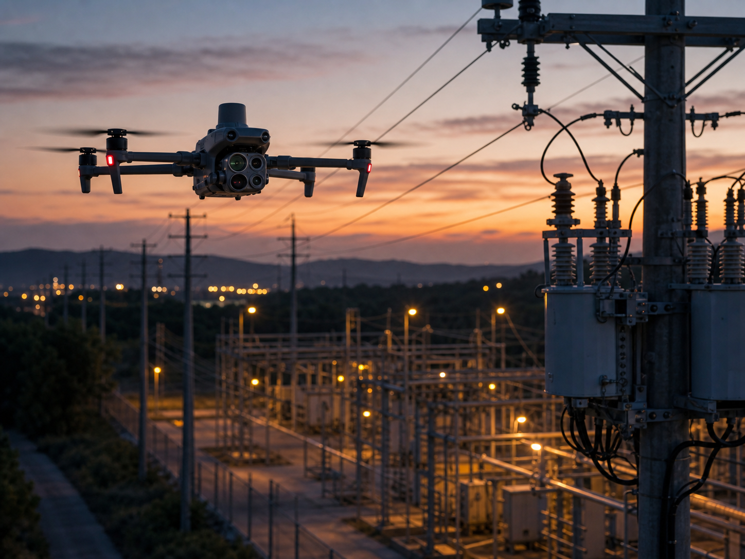
Inspect renewable assets with clearer visual and thermal context.
Support solar, wind, battery-storage, and renewable-site teams with repeatable inspection routes, visual and thermal observations, and reviewable asset records.
How do drones support renewable energy teams?
Enterprise drones can provide controlled aerial visual, thermal, mapping, and documentation context for defined operational tasks. Their value comes from an appropriate aircraft, trained people, clear procedures, sound data handling, and qualified interpretation – not the aircraft alone.
- Reduce unnecessary exposure while teams collect context for difficult-to-access areas.
- Create repeatable records to support planning, review, maintenance, or field decisions.
- Share approved outputs with the people responsible for the next action.
Choose the workflow before the aircraft.
Each mission needs appropriate operating conditions, safety controls, approvals, and qualified review.
Solar array visual and thermal review
Collect controlled aerial context for this defined operational question, then review it through the appropriate team workflow.
Wind turbine blade and nacelle context
Collect controlled aerial context for this defined operational question, then review it through the appropriate team workflow.
Construction and commissioning records
Collect controlled aerial context for this defined operational question, then review it through the appropriate team workflow.
Recurring site inspection planning
Collect controlled aerial context for this defined operational question, then review it through the appropriate team workflow.
Perimeter and access documentation
Collect controlled aerial context for this defined operational question, then review it through the appropriate team workflow.
Post-weather damage observations
Collect controlled aerial context for this defined operational question, then review it through the appropriate team workflow.
Match the platform to the required output.
DJI Matrice 4T
Portable thermal direction for detailed solar and asset inspection.
DJI Matrice 400
Payload-flexible direction for larger renewable sites and specialist workflows.
DJI Matrice 30T
Rugged integrated sensing for mobile inspections.
DJI Matrice 4D + Dock 3
Fixed-site direction for suitable recurring routes.
Common renewable energy drone questions.
Can a drone identify every solar defect?
Thermal and visual data can flag areas for review, but qualified inspection and site procedures remain essential.
Can drones inspect wind turbines?
They can support authorized visual documentation of blades, towers, nacelles, and surrounding conditions when procedures permit.
What makes repeat inspections useful?
Consistent routes, viewing conditions, records, and review methods make comparisons more useful over time.
Can docked drones inspect solar farms?
They can support suitable fixed-site routes after infrastructure, safety, weather, regulatory, and operational assessment.
What output should an inspection create?
Define the required media, thermal observations, defect-review process, map, report, or maintenance handoff before flying.
Start with the site and operational decision.
SK Vector can help define an aircraft, sensor, software, accessory, and deployment direction for the intended workflow.