
Clearer aerial context for safer public safety operations.
Support law enforcement, emergency response, search teams, event security, collision investigation, and facility protection with live visual and thermal awareness, repeatable documentation, and agency-aligned drone workflows.
How do drones support public safety and law enforcement?
Public safety teams use drones to gather aerial context for incident response, search and rescue, perimeter awareness, collision and scene documentation, planned patrols, and major-event coordination. The aircraft is a situational-awareness tool. It does not replace incident command, officer judgment, aviation coordination, privacy policy, evidence procedure, or applicable regulations.
- Give command and ground teams a clearer view of access, hazards, movement, terrain, and defined search areas.
- Share visual and thermal observations through approved communications and command workflows.
- Create repeatable incident, training, patrol, and post-event records under agency policy.
Match the aircraft and sensor to the operational question.
A sound choice begins with the required outcome, deployment model, regulations, crew capability, communications, privacy considerations, and agency procedures – not a model name.
Scene and perimeter awareness
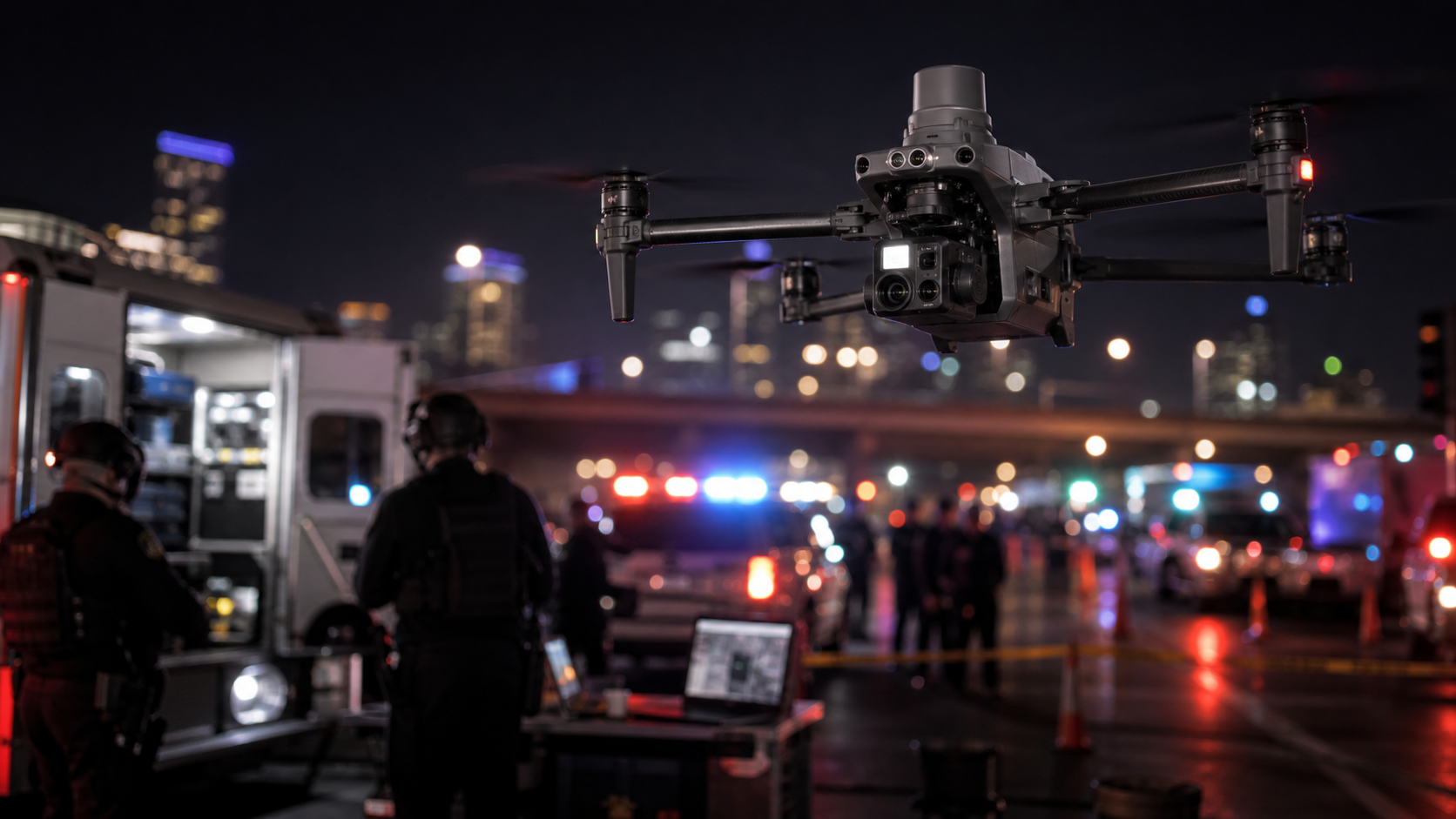
Provide visual context for access, hazards, movement, routes, and an evolving incident before closer entry when procedures allow.
Typical output: live aerial context for command and responding teams.
Defined-area search support
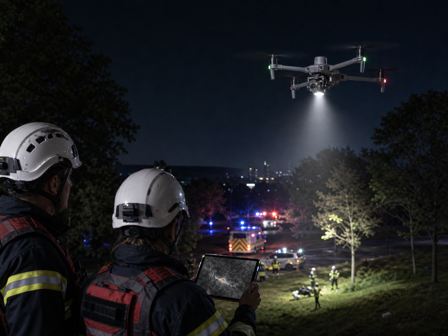
Support visual and thermal observation of approved search areas, terrain, routes, and likely points of interest.
Typical output: prioritized observations with location context.
Thermal and zoom awareness
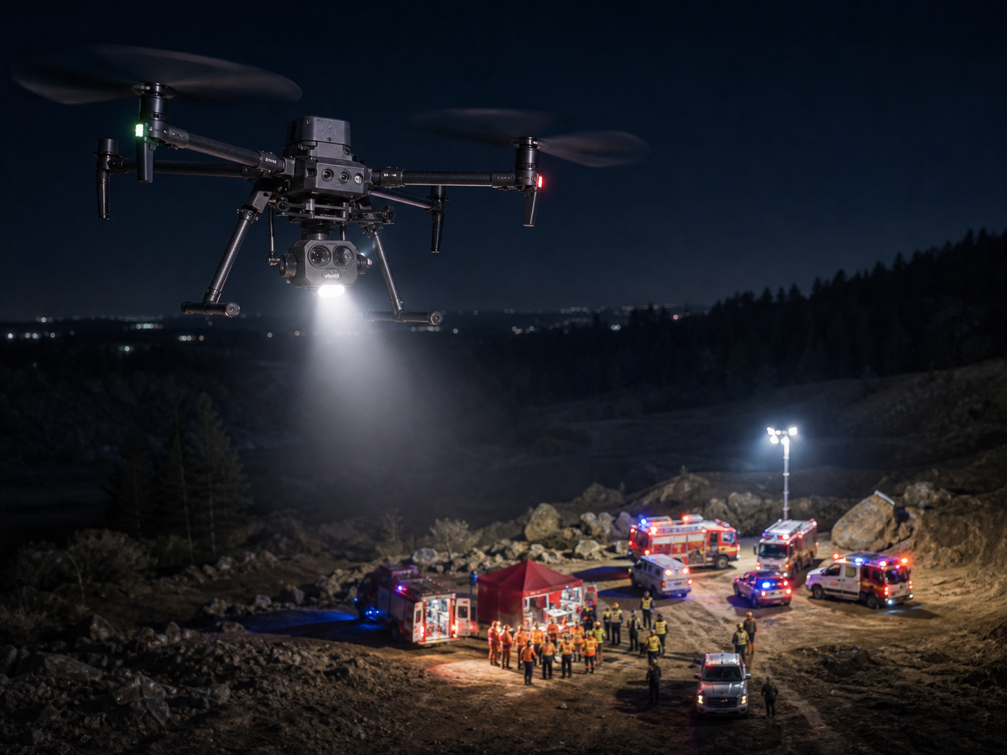
Use appropriate thermal, low-light, and zoom capability to help teams understand selected areas at a safer stand-off distance.
Typical output: visual and thermal observations for approved response workflows.
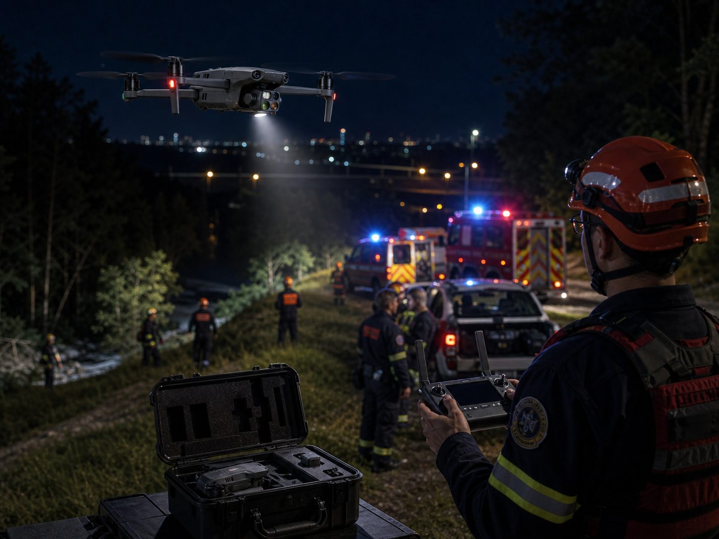
Portable first-response support
Deploy a compact kit for selected calls where fast aerial context is more useful than a larger field setup.
Typical output: immediate scene awareness and reviewable media.
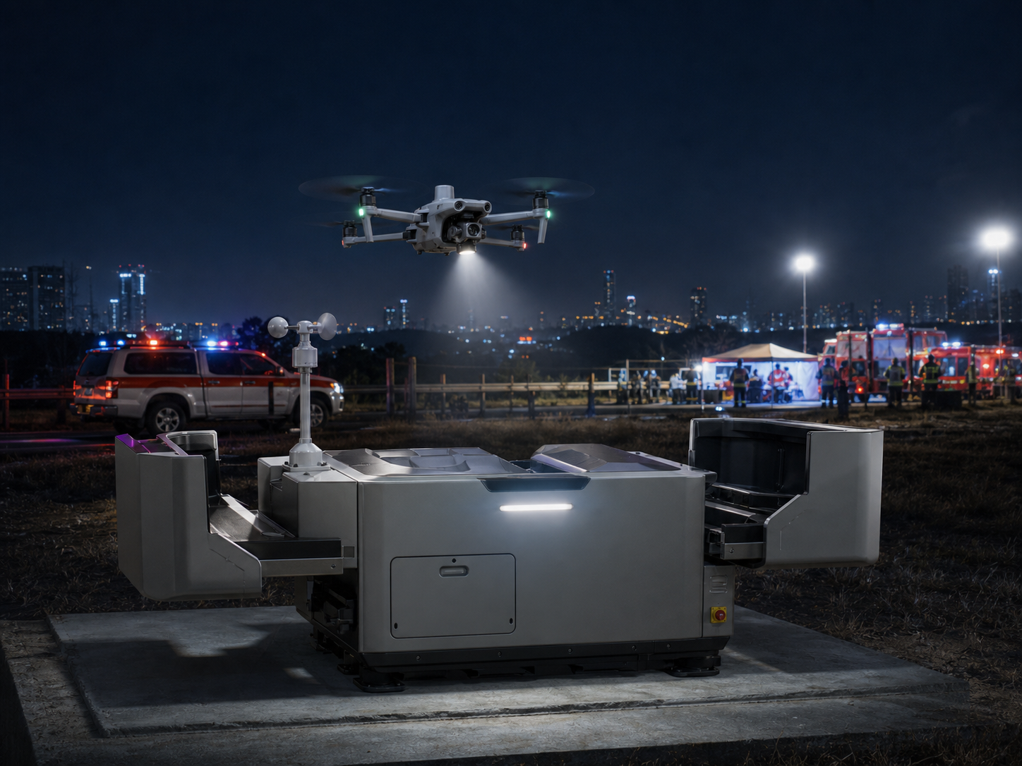
Preparedness and recurring patrols
Assess suitable fixed-area workflows for planned patrols, alarm response, site awareness, and repeat documentation.
Typical output: searchable route records and shared operational context.
Collision and scene records
Capture authorized imagery and mapped context for incident review, reconstruction support, and follow-up documentation.
Typical output: organized imagery, video, and site context.
Turn aerial information into a controlled response process.
Program value depends on people, policy, training, command coordination, and data handling as much as aircraft and sensors.
Set agency procedures
Define roles, training, aircraft, batteries, dispatch, aviation coordination, privacy, evidence, and communications procedures.
Confirm constraints
Review scene hazards, weather, airspace, launch area, bystanders, lighting, network, and command objectives.
Collect useful context
Use visual, thermal, zoom, mapping, lighting, or live-video capability appropriate to the approved mission.
Brief the right roles
Deliver concise observations through the approved command, dispatch, and field-team workflow without overinterpreting data.
Close the response loop
Secure media, retain logs, document findings, and follow agency evidence, privacy, and retention requirements.
Choose by workflow, not by model name.
Configuration depends on response urgency, coverage, visual and thermal need, low-light operation, live sharing, payloads, training, local regulations, agency policy, and operating conditions.
| Response task | Primary need | Deployment direction | Typical product direction |
|---|---|---|---|
| First response and incident overwatch Understand access, hazards, perimeter, and changing scene context. |
Fast setup, visual and thermal context, zoom, live sharing. | Rugged integrated thermal platform. | Matrice 30T or Matrice 4T depending on agency procedures and conditions. |
| Search and rescue Support approved visual and thermal search across defined terrain. |
Thermal, zoom, portability, endurance, and location context. | Compact or higher-capability thermal platform. | Matrice 4T, Mavic 3T, Matrice 30T, or Matrice 350 RTK based on coverage need. |
| Collision and scene documentation Capture repeatable site records for authorized review workflows. |
High-resolution imaging, mapping, RTK, and controlled media handling. | Mapping and documentation platform. | Matrice 4E or Matrice 350 RTK with a suitable imaging workflow. |
| Fixed-site readiness or patrol Support suitable pre-planned remote routes at a fixed location. |
Dock infrastructure, network, route safety, remote procedure, and oversight. | Dock automation after site assessment. | Matrice 4D/4TD with Dock 3 and an approved FlightHub 2 workflow. |
Enterprise platforms for public safety operations.
These are solution directions, not a substitute for agency policy, local regulations, training, payload compatibility, privacy requirements, or operating procedures.
DJI Matrice 30T
Integrated thermal and zoom direction for mobile incident response, low-light awareness, and field deployment.
Best fit: teams prioritizing rapid setup with integrated sensing.
View Matrice 30 Series →
DJI Matrice 4T
Portable thermal direction for selected public safety, search, security, and incident-awareness workflows.
Best fit: rapid field deployment and compact response kits.
View Matrice 4 Series →
DJI Matrice 350 RTK
Higher-capability direction for larger areas, payload flexibility, mapping, thermal observation, and repeatable records.
Best fit: agencies requiring adaptable professional mission configurations.
View Matrice 350 RTK →
DJI Matrice 4TD + Dock 3
Fixed-site automated direction for suitable approved response, patrol, and readiness operations.
Best fit: fixed locations with infrastructure and remote-operation procedures.
View Matrice 4D →
Define the operational output before the flight.
Shared command context
Approved live visual and thermal sharing for incident, dispatch, and field-team coordination.
Search observations
Defined-area observations with location context to support agency-managed search workflows.
Scene records
Authorized site imagery, maps, and repeat documentation for collision, incident, and pre-plan workflows.
Reviewable documentation
Organized imagery and video managed in line with agency evidence, privacy, and retention procedures.
Common questions about public safety and law enforcement drones.
How do public safety agencies use drones?
Agencies use drones for approved incident awareness, search and rescue, planned patrols, collision and scene documentation, emergency management, training, and other defined workflows. Specific use must follow local regulations and agency policy.
Can a drone stream live video to command?
It can support approved live-sharing workflows when the aircraft, network, software, security settings, permissions, and agency procedures are in place. Teams should define who receives the information and how it is documented.
Are thermal drones useful for search and rescue?
Thermal capability can add useful context in selected conditions, but results depend on weather, terrain, obstructions, distance, viewing angle, sensor settings, and operational interpretation. It should support qualified search decisions, not replace them.
What is required to start a public safety drone program?
A durable program combines aircraft with trained personnel, standard operating procedures, dispatch and aviation coordination, privacy and evidence policy, data management, maintenance, batteries, safety practices, and regular training.
Can a docked drone support first-response operations?
A dock can support suitable fixed-area workflows, but it requires site assessment, infrastructure, network reliability, route safety, regulatory approvals, trained oversight, weather review, and approved operating procedures.
Tell us the response environment and the operational objective.
SK Vector can help narrow the aircraft, thermal and zoom capability, mapping direction, batteries, accessories, software, dock readiness, and deployment workflow for public safety teams.