

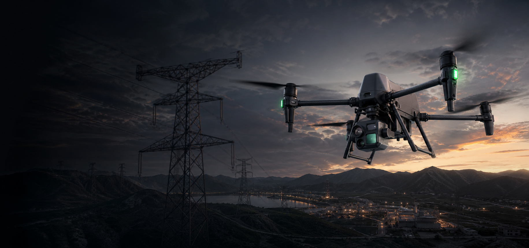
Power line and substation inspection with enterprise drones.
Build safer, faster, and more repeatable inspection workflows for transmission lines, distribution networks, substations, right-of-way corridors, and emergency response using zoom, thermal, RTK, LiDAR, and dock-based drone systems.
How are drones used in the electricity industry?
Power utilities use enterprise drones to inspect lines and substations, identify visible defects and thermal anomalies, map corridors, monitor vegetation clearance, document storm damage, and repeat scheduled patrols. The right system depends on asset type, route length, required sensor, data output, and whether operations are mobile or dock-based.
- Reduce the need for climbing, close access, and long ground patrols during initial observation.
- Collect consistent visual, thermal, and spatial records for maintenance planning and comparison.
- Give response teams faster aerial awareness after storms, fire, flooding, or access disruption.
One electricity network, several different inspection workflows.
A transmission corridor, a distribution feeder, and a substation should not be treated as the same drone project. Each requires a different balance of sensing, endurance, accuracy, and deployment speed.
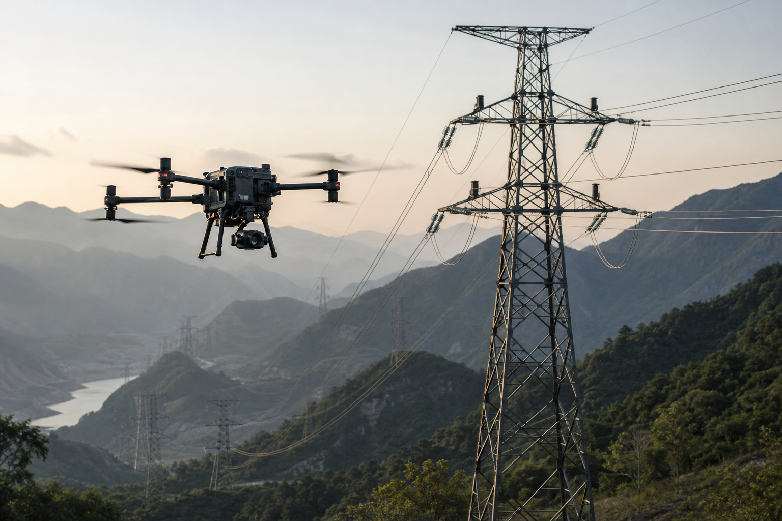
Transmission line and tower inspection
Observe towers, insulators, conductors, fittings, spacers, dampers, and other visible components across long routes using zoom and optional thermal imaging.
Typical output: geotagged inspection imagery, thermal observations, defect records, and route documentation.
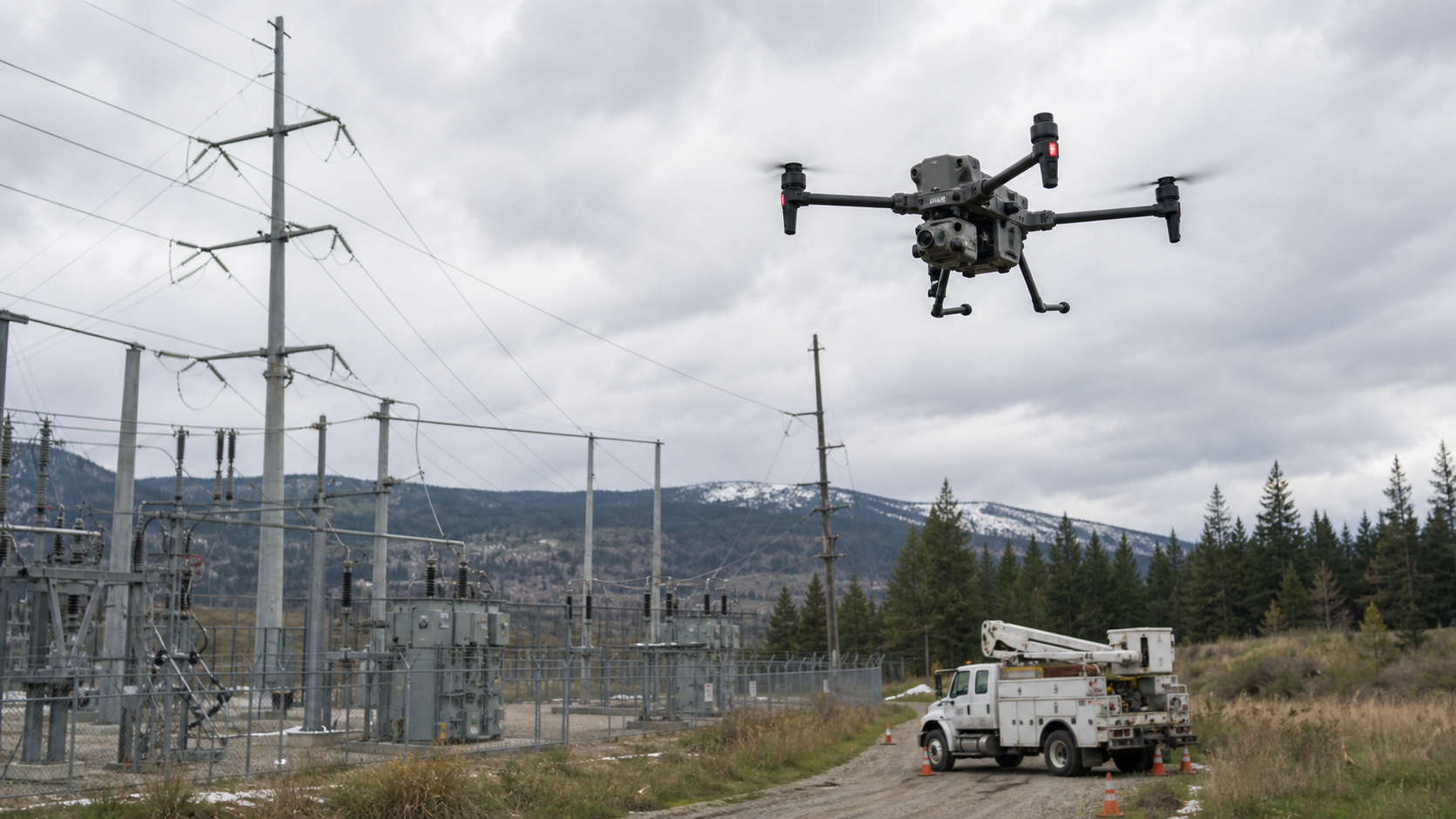
Substation and equipment inspection
Inspect transformers, switchgear, busbars, connectors, structures, and perimeter areas with repeatable visual and thermal capture.
Typical output: visual condition records, thermal anomaly screening, asset comparison, and incident documentation.
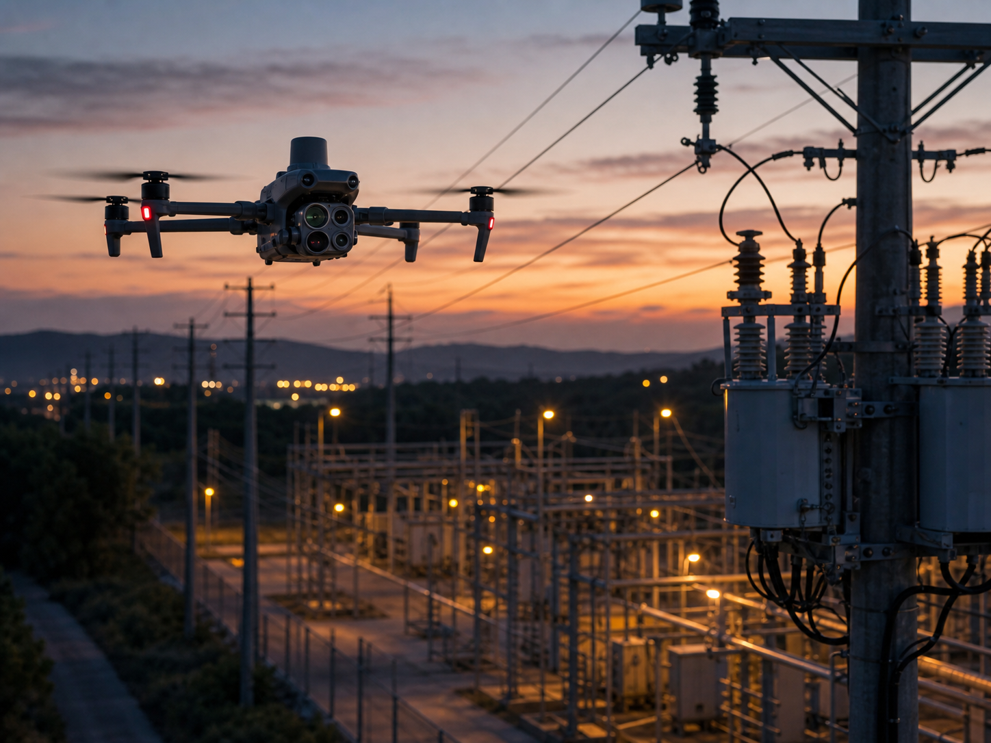
Distribution line and pole inspection
Deploy quickly around feeders, poles, transformers, crossarms, and local fault locations where portability and short setup time matter.
Typical output: pole-level imagery, transformer thermal checks, localized fault evidence, and maintenance records.
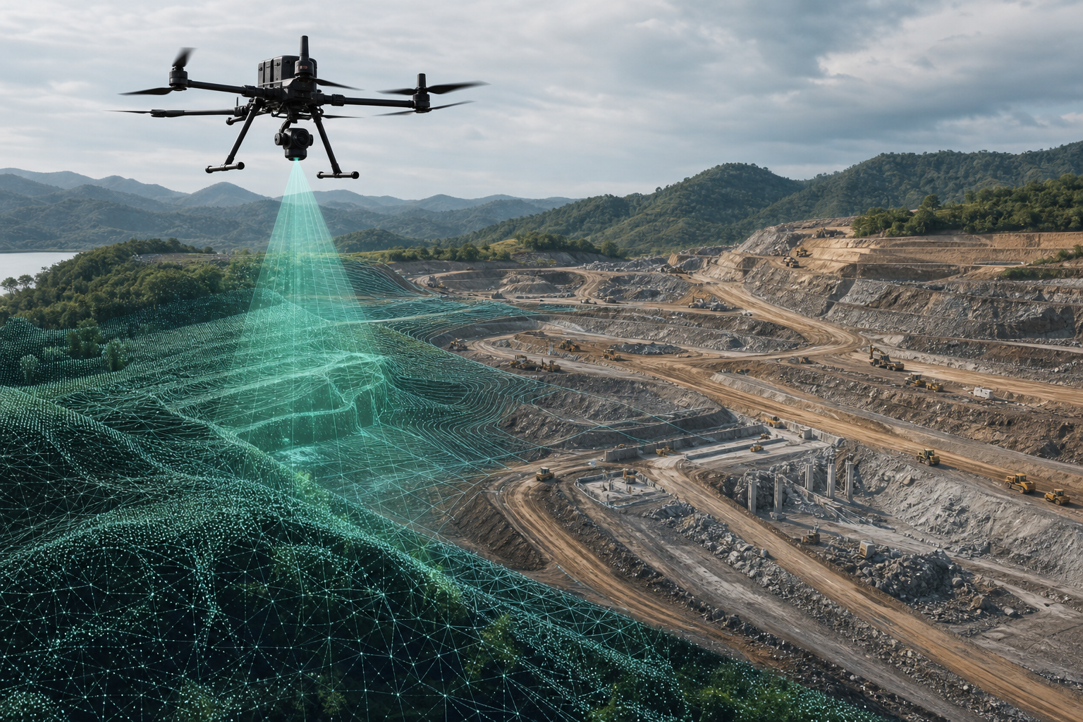
Vegetation and corridor mapping
Use LiDAR or photogrammetry to document terrain, asset position, vegetation encroachment, and corridor conditions for planning and clearance analysis.
Typical output: point clouds, terrain models, orthomosaics, corridor maps, and change records.
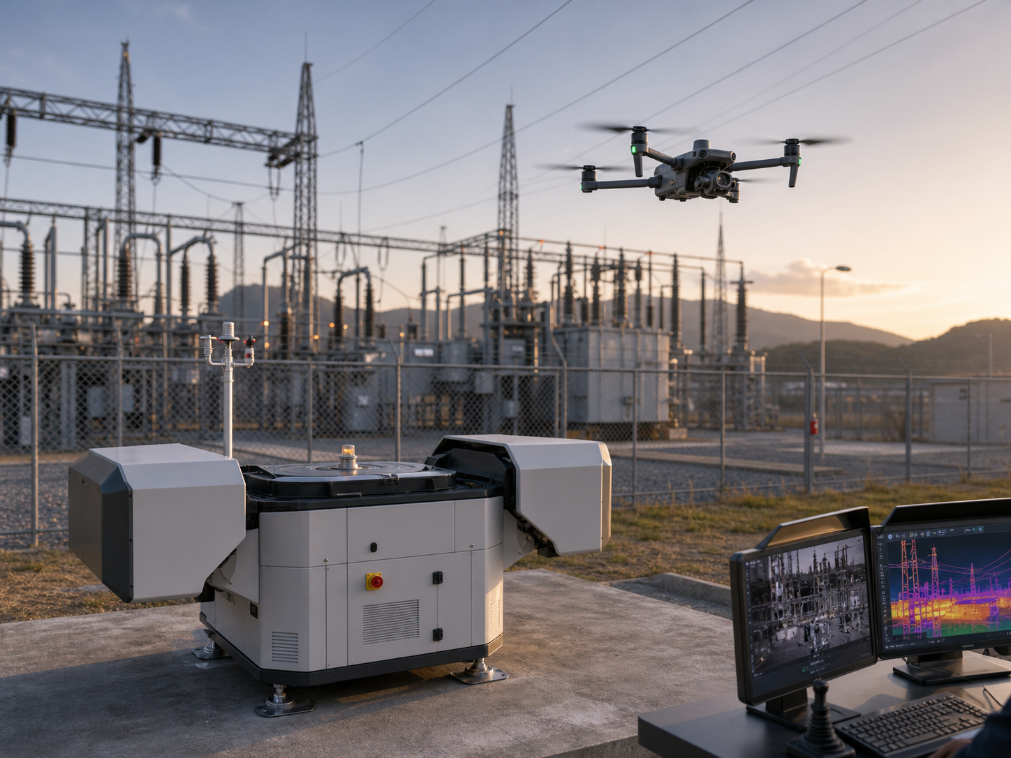
Scheduled fixed-site patrol
Run repeatable routes around substations, grid facilities, yards, and selected fixed assets with remote task execution and centralized oversight.
Typical output: recurring visual and thermal records, route history, alerts, and remotely reviewed mission data.
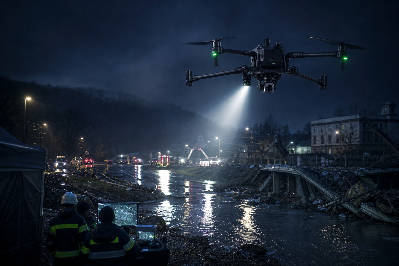
Storm damage and outage assessment
Gain aerial awareness when roads are blocked or assets are widely dispersed, then prioritize closer inspection and field response.
Typical output: rapid scene overview, damaged asset locations, live video, and prioritized inspection evidence.
Turn a flight into usable maintenance evidence.
The value comes from repeatable planning, consistent capture, reviewable outputs, and a clear handoff to utility teams—not from the aircraft alone.
Define assets and risks
Confirm voltage class, asset type, route length, access limits, operating environment, and safety procedures.
Match sensors and platform
Select zoom, thermal, RTK, LiDAR, photogrammetry, lighting, or automation according to the evidence required.
Standardize capture
Set routes, stand-off distances, viewpoints, naming rules, overlap, positioning, and repeat-inspection logic.
Organize findings
Associate imagery and measurements with assets, compare conditions, and flag observations for engineering review.
Support maintenance decisions
Deliver evidence in a form that inspection, maintenance, GIS, asset-management, or incident teams can use.
Choose the configuration by mission, not by model name.
This table is a starting point. Local regulations, electromagnetic environment, line conditions, weather, required accuracy, and utility safety procedures must still be assessed.
| Utility mission | Primary sensing need | Deployment direction | Typical product direction |
|---|---|---|---|
| Long transmission corridorsDetailed line, tower, and hardware inspection over larger working areas. | High zoom, thermal when required, RTK, optional LiDAR. | Field-deployed flagship or mature multi-payload platform. | Matrice 400 or Matrice 350 RTK with H30T/H20T; add L2 or survey payloads for corridor mapping. |
| Distribution and local fault checksRapid inspection around poles, transformers, feeders, and localized events. | Integrated zoom and thermal with fast setup. | Compact or rugged portable aircraft. | Matrice 4T or Matrice 30T depending on portability, ruggedness, and response workflow. |
| Substation recurring patrolRepeat the same viewpoints and monitor fixed assets over time. | Visual, thermal, repeatable routes, remote review. | Mobile inspection or dock automation. | Matrice 4T/M30T for mobile teams; Matrice 4D/4TD with Dock 3 for fixed-site automation. |
| Vegetation and clearance analysisUnderstand corridor terrain, canopy, conductor relationship, and change. | LiDAR, photogrammetry, RTK positioning. | Professional mapping platform and processing workflow. | Matrice 400 or Matrice 350 RTK with L2/P1 and suitable survey software. |
| Storm and outage responseCover damaged areas quickly and provide live situational awareness. | Zoom, thermal, live video, lighting, optional speaker. | Rapid portable response platform. | Matrice 30T, Matrice 4T, or Matrice 400 for larger operating areas. |
Enterprise drone platforms for different utility operating models.
Final selection should follow the mission scope, payload requirement, field environment, local regulations, and the utility’s operating procedures.
DJI Matrice 400
For long routes, high-capability payload configurations, professional inspection, corridor mapping, and larger working areas.
Best fit: utilities prioritizing endurance, payload flexibility, and new-generation flagship capability.
View Matrice 400 →
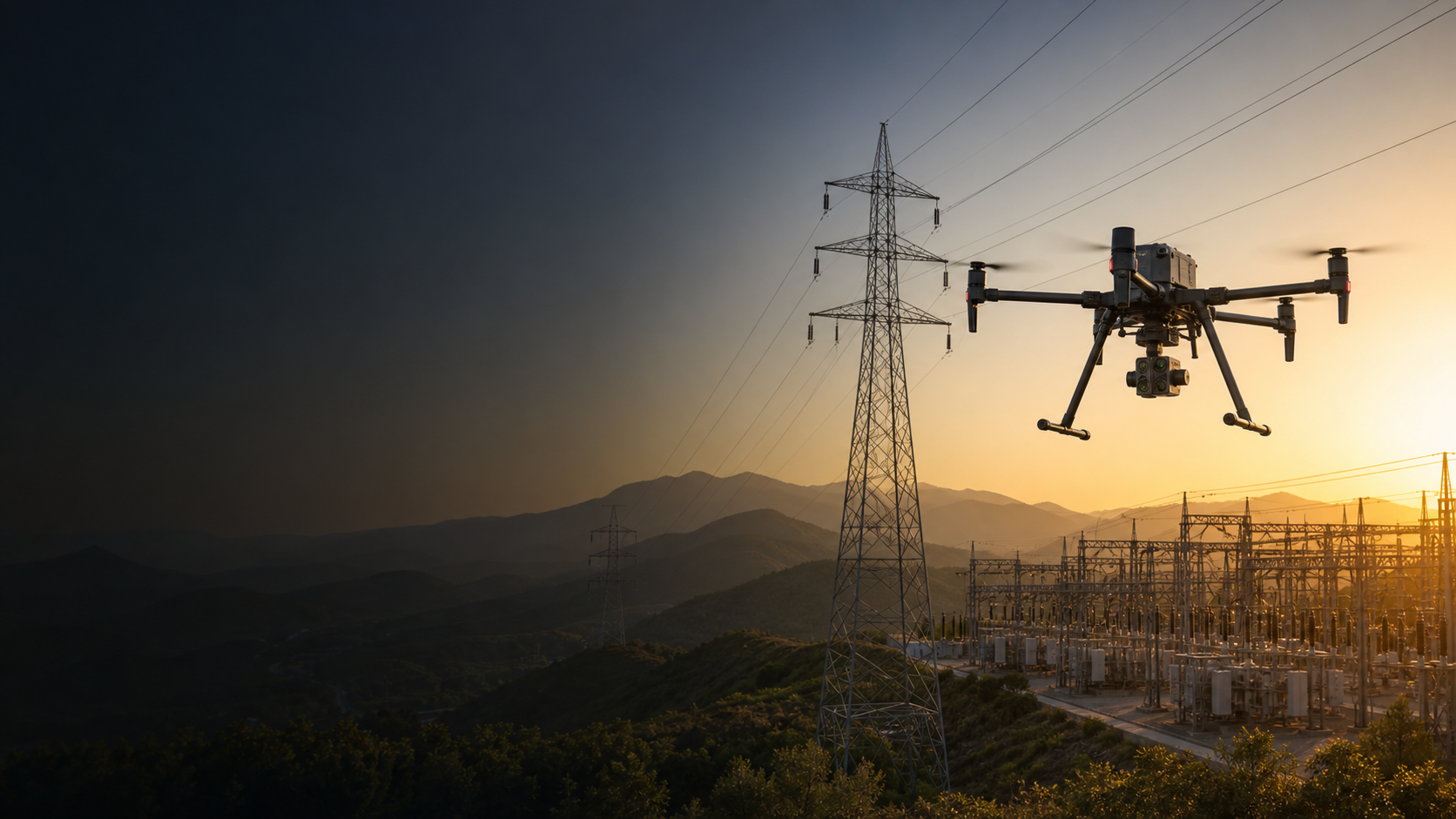
DJI Matrice 350 RTK
A proven direction for zoom, thermal, RTK, LiDAR, and photogrammetry workflows across inspection and corridor mapping.
Best fit: teams wanting a mature ecosystem and flexible payload compatibility.
View Matrice 350 RTK →
DJI Matrice 4T
Fast daily deployment for distribution assets, local substation work, thermal observation, and smaller inspection areas.
Best fit: teams prioritizing portability and rapid field setup.
View Matrice 4 Series →
DJI Matrice 4D / 4TD + Dock 3
Scheduled remote inspection for substations, grid facilities, and other fixed sites requiring repeatable patrol routes.
Best fit: fixed assets with recurring monitoring and suitable network, site, and operating conditions.
View Matrice 4D →
Plan the deliverable before planning the flight.
Asset-level visual records
Consistent imagery tied to towers, poles, components, equipment, or defined inspection points.
Thermal observation sets
Radiometric or visual thermal records, when supported, organized for qualified review and comparison.
Corridor maps and models
Orthomosaics, point clouds, terrain models, asset locations, and change-monitoring datasets.
Live and recurring awareness
Live video, mission history, repeat routes, remotely reviewed records, and incident documentation.
Common questions about drone power line inspection.
What can drones inspect on power lines?
Drones can capture visual and thermal information for towers, poles, conductors, insulators, connectors, fittings, transformers, switchgear, substation equipment, and right-of-way conditions. The exact inspection scope depends on sensor capability, safe stand-off distance, operating procedures, and local regulations.
Which DJI drone is suitable for power line inspection?
Matrice 400 and Matrice 350 RTK are strong directions for professional long-route inspection and multi-payload work. Matrice 4T and Matrice 30T suit faster portable thermal inspection. Matrice 4D or 4TD with Dock 3 fits recurring fixed-site patrol when the site is suitable for automated operation.
When should a utility use thermal imaging?
Thermal imaging is useful when the inspection plan includes screening for abnormal heat patterns on connectors, transformers, switchgear, or other energized equipment. Findings should be reviewed by qualified personnel and interpreted with load, weather, viewing angle, emissivity, and equipment condition in mind.
Can drones be used for vegetation management around power lines?
Yes. RTK mapping, photogrammetry, and LiDAR can support corridor documentation, terrain modeling, vegetation mapping, clearance analysis, and change detection. The required method depends on accuracy, canopy density, corridor size, and output requirements.
Is a drone dock suitable for every substation?
No. Dock deployment depends on site security, communications, power, weather exposure, airspace, local regulations, route design, obstacle conditions, and the utility’s operating procedures. A site assessment is required before recommending automation.
Does drone inspection replace utility engineers or close inspection?
No. Drone data supports screening, documentation, prioritization, and situational awareness. Engineering judgment, safety procedures, regulatory requirements, and close inspection or testing may still be required.
Tell us the network, asset, and inspection outcome.
SK Vector can help narrow the aircraft, camera or mapping payload, RTK tools, batteries, software, and deployment direction for your electricity project.