

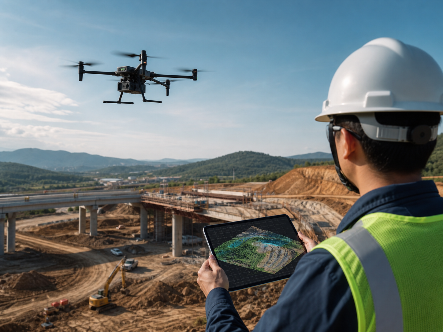
Survey-grade field capture for maps, models, and measurable site records.
Design drone workflows around the required deliverable: orthomosaics, topographic surfaces, point clouds, 3D models, contours, stockpile records, and construction or infrastructure documentation.
How are drones used for surveying and mapping?
Surveyors, engineers, contractors, GIS teams, and asset owners use enterprise drones to collect repeatable aerial data for site maps, terrain models, point clouds, progress records, and spatial documentation. The aircraft is one part of the result: accuracy depends on mission planning, positioning, control, processing, validation, coordinate management, and qualified review.
- Cover large, inaccessible, or changing areas efficiently while retaining a consistent site record.
- Collect image and LiDAR data that can support mapping, modeling, volume, and engineering workflows.
- Compare the same site over time using defined capture, processing, and quality-assurance procedures.
Choose the data method by the decision it must support.
A map, model, or measurement should begin with the required output and accuracy. Platform and payload selection follows the field method, coverage requirement, and site conditions.
Topographic mapping and site context
Capture planned nadir imagery for terrain, parcels, corridors, development areas, and existing-condition documentation.
Typical output: orthomosaics, surface models, contours, and controlled site records.
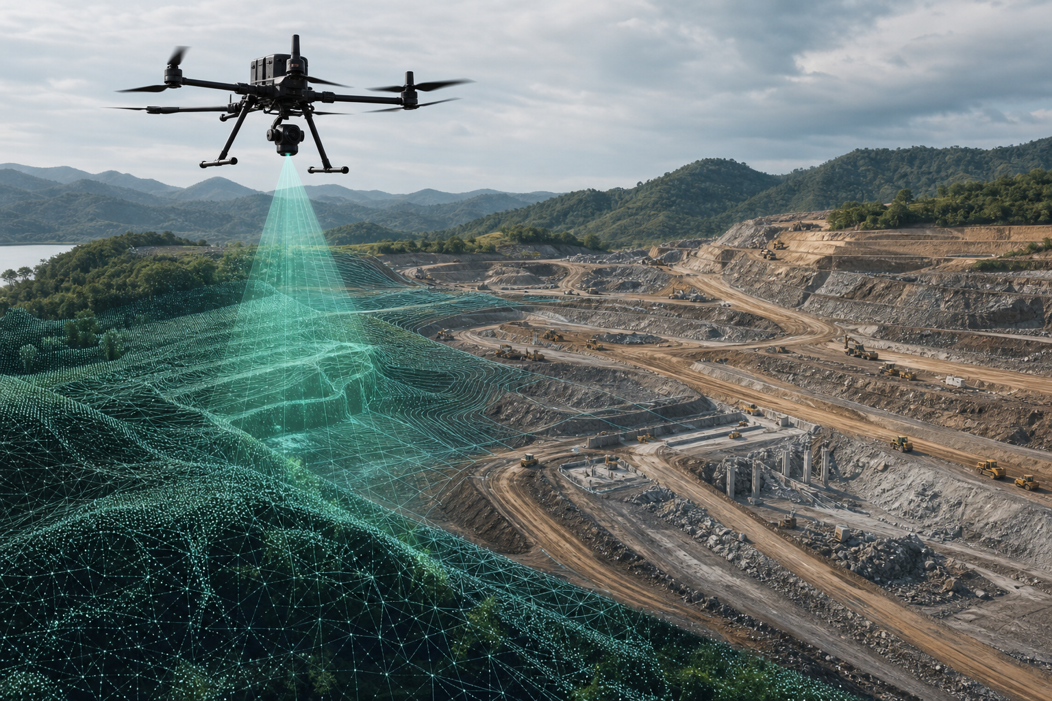
Point clouds and terrain detail
Collect LiDAR data where point-cloud workflows, terrain detail, structures, or vegetation conditions inform the project.
Typical output: classified point clouds, terrain surfaces, contours, and spatial context.
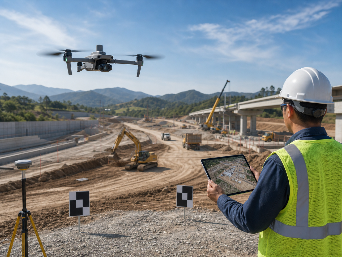
Progress and earthwork documentation
Build repeat site records for grading, earthworks, stockpiles, project progress, and work-zone coordination.
Typical output: progress maps, surfaces, volume-supporting records, and comparisons.
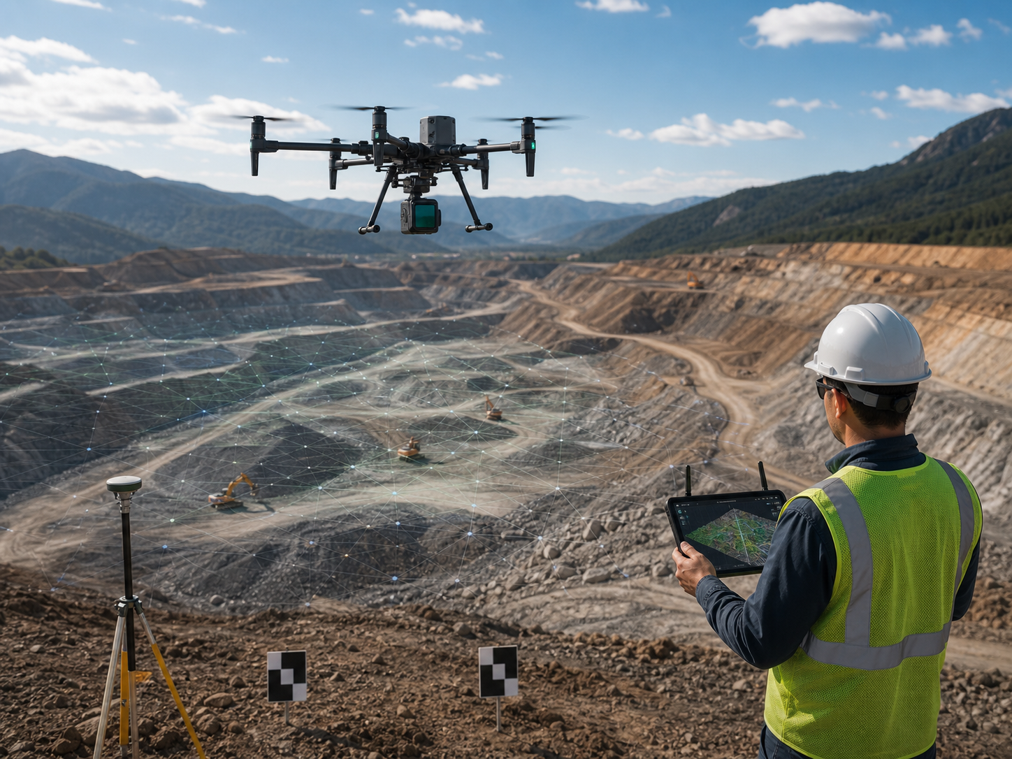
Road, rail, utility, and linear assets
Plan systematic coverage for long routes, crossing structures, asset context, terrain, and defined inspection or mapping zones.
Typical output: corridor maps, point clouds, models, and route documentation.
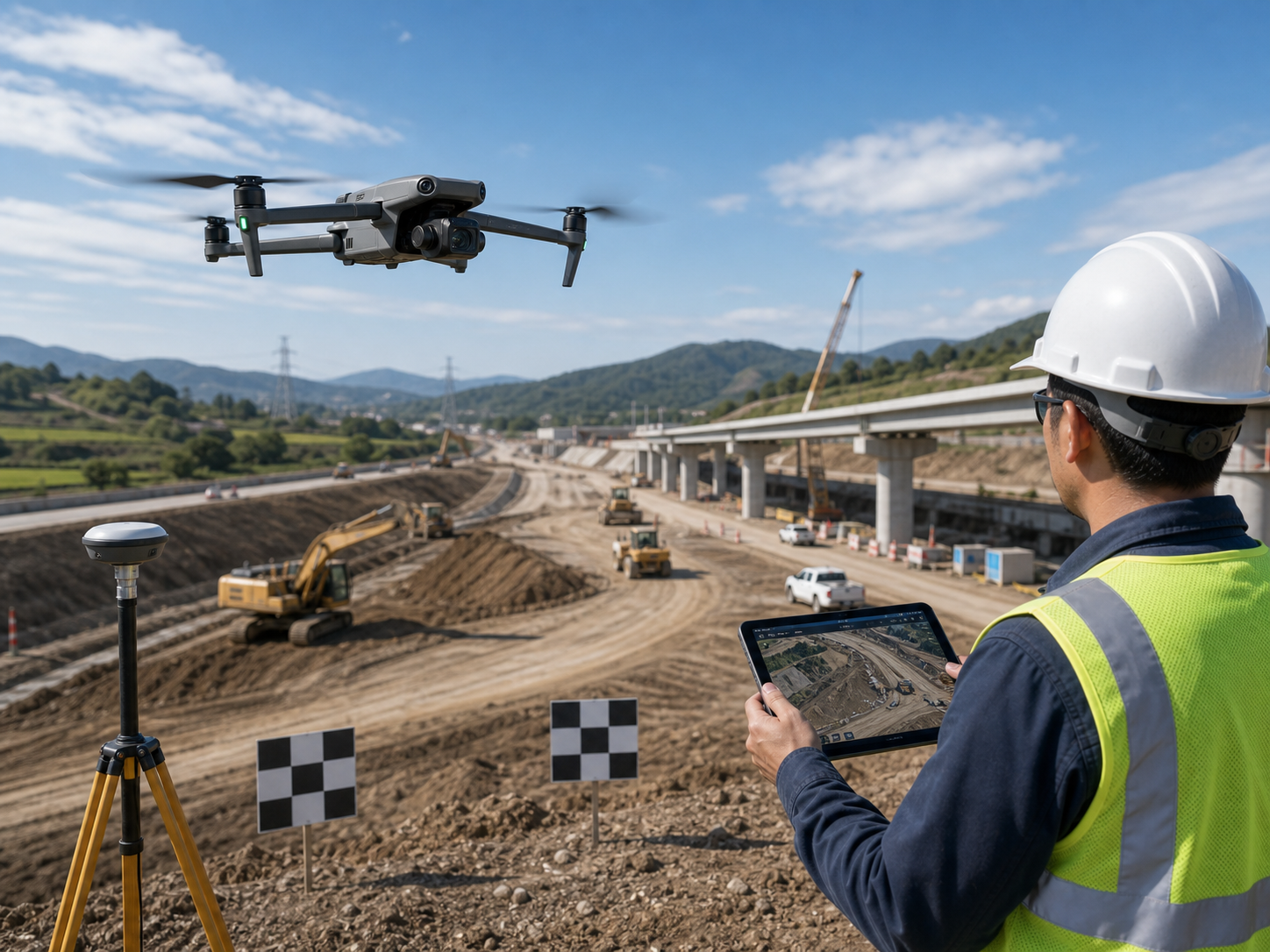
Small sites and daily mapping
Deploy a compact mapping workflow for selected smaller sites, routine documentation, and short turnaround projects.
Typical output: georeferenced imagery, site maps, 3D context, and visual records.
Oblique imagery and 3D context
Capture building, structure, facade, and site context with planned oblique imagery and an appropriate processing workflow.
Typical output: 3D reality models, textured meshes, visual context, and measured site records.
From field plan to a reviewed spatial deliverable.
Drone data becomes dependable when the capture method, positional control, processing, validation, and record of use are designed together.
Set the deliverable
Confirm output, coordinate reference system, accuracy tolerance, coverage, decision owner, and required export format.
Plan positioning
Choose RTK, PPK, ground control, checkpoints, base or network correction, and a documented field procedure.
Fly consistent data
Set overlap, ground sampling distance, terrain following, camera or LiDAR settings, and suitable capture conditions.
Create the model
Process imagery or LiDAR with the right coordinate system, quality settings, classification, and deliverable specification.
Review before use
Check control, completeness, residuals, checkpoints, surfaces, and outputs before they inform design or measurement decisions.
Choose the configuration by deliverable, not by aircraft alone.
The right direction depends on the output, accuracy need, control approach, coverage, terrain, vegetation, image detail, LiDAR requirement, software, and the field team’s operating workflow.
| Surveying task | Primary data need | Workflow direction | Typical product direction |
|---|---|---|---|
| Large-area topographic mappingCapture broad terrain, infrastructure, and land-development context. | RTK or PPK, planned imagery or LiDAR, control and validation. | Professional multi-payload mapping platform. | Matrice 400 or Matrice 350 RTK with L2 or P1, D-RTK 3, and suitable software. |
| LiDAR terrain and vegetation workBuild point clouds and terrain models where surface detail or vegetation is a project factor. | LiDAR payload, positioning, calibration, classification, and QC. | Payload-capable mapping platform. | Matrice 400 or Matrice 350 RTK with L2 and a qualified processing workflow. |
| Small-site maps and progress recordsCollect compact, rapid image-based data for maps, models, and site records. | Mechanical-shutter imagery, RTK, mission planning, and processing. | Portable mapping platform. | Matrice 4E or Mavic 3E depending on coverage, control, and deliverable requirement. |
| Oblique capture and 3D modelsCollect planned imagery for structures, sites, facades, and reality-model context. | Oblique coverage, image detail, geometry, and processing. | Mapping platform matched to site scale. | Matrice 4E or larger RTK platforms where coverage or payload requirements increase. |
| Recurring engineering recordsRepeat the same controlled site capture for comparison and field coordination. | Defined route, control, repeat procedure, processing, and review. | Repeatable field workflow. | Compact or professional RTK platform selected by coverage, precision, and field conditions. |
Enterprise platforms for geospatial fieldwork.
These are starting points. Confirm payload compatibility, positioning method, software, local regulations, control procedures, and project accuracy requirements before procurement.
DJI Matrice 400
For broad coverage, professional payload configurations, LiDAR, photogrammetry, and advanced mapping requirements.
Best fit: larger areas and payload flexibility are key project requirements.
View Matrice 400 →
DJI Matrice 350 RTK
A proven direction for RTK workflows, LiDAR, photogrammetry, terrain models, and surveying documentation.
Best fit: teams needing an established professional mapping ecosystem.
View Matrice 350 RTK →
DJI Matrice 4E
Compact RTK mapping direction for selected site capture, progress documentation, and rapid daily deployment.
Best fit: portability and quick field setup matter most.
View Matrice 4 Series →
DJI Mavic 3E
A lightweight direction for selected compact mapping and site-documentation workflows with appropriate planning and review.
Best fit: small areas, rapid deployment, and portable field work.
View Mavic 3 Enterprise →
Define the output before scheduling the flight.
Orthomosaics and basemaps
Georeferenced image products for site context, planning, coordination, GIS, and repeat records.
Terrain and elevation models
DSM, DTM, contours, and surface data processed and reviewed for the required project method.
LiDAR and photogrammetry data
Point-cloud and 3D context for qualified teams using appropriate classification and QA procedures.
Repeatable site evidence
Progress imagery, 3D context, volume-supporting capture, change comparison, and field documentation.
Common questions about enterprise drone mapping.
Can a drone replace a land survey?
A drone can efficiently collect image and LiDAR data that supports many mapping and surveying workflows. Whether it is suitable for a particular survey deliverable depends on the required accuracy, control, validation, jurisdiction, contract requirements, and qualified professional review.
How accurate is drone mapping?
Accuracy depends on the platform, sensor, flight plan, ground sampling distance, RTK or PPK correction, ground control, checkpoints, coordinate system, processing, and quality assurance. It should be verified against the project’s defined method rather than assumed from the drone model.
When should a team use LiDAR instead of photogrammetry?
LiDAR is often useful for point-cloud and terrain workflows, complex structures, or vegetation conditions. Photogrammetry is effective for high-resolution image maps and 3D models. The right method depends on the required output, terrain, cover, accuracy, processing workflow, and budget.
What are checkpoints used for?
Independent checkpoints help validate the final deliverable against known surveyed positions. They are distinct from any control used to process the data and are part of a defensible quality-assurance workflow.
What should a survey team provide when requesting a drone solution?
Share the site location and size, required deliverable, accuracy tolerance, coordinate system, terrain and vegetation conditions, control method, capture frequency, preferred software, country, and project timeline.
Tell us the site, deliverable, and accuracy workflow.
SK Vector can help narrow the aircraft, payload, RTK tools, control accessories, batteries, and deployment direction for surveying, mapping, and geospatial data-collection projects.