
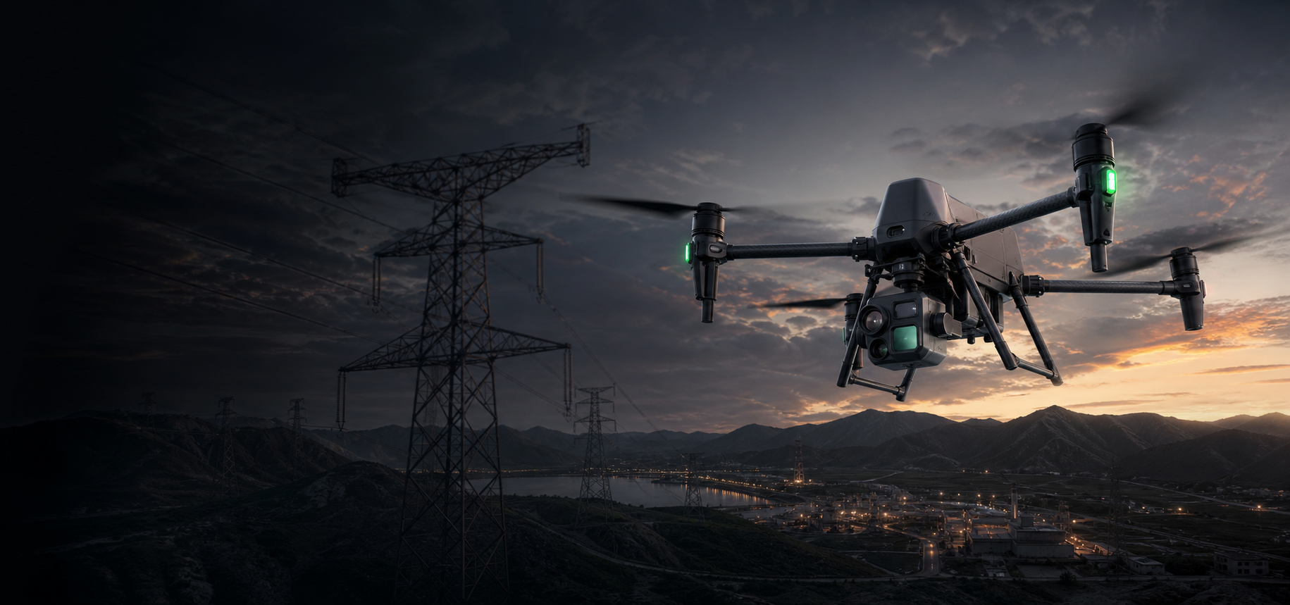
DJI Matrice 400
A flagship industrial drone platform for long-range inspection, heavy-payload operations, mapping, emergency response, and large infrastructure missions.
When should a buyer choose Matrice 400?
Matrice 400 is the right choice when the project needs endurance, payload flexibility, and professional industrial workflows.
Best fit for
- Power line, tower, and substation inspection over long routes.
- Oil and gas facilities where teams need remote visual and thermal inspection.
- Mining, quarry, and large construction sites requiring mapping or safety monitoring.
- Emergency response teams that need thermal imaging, spotlight, and speaker payloads.
- Customers who need one heavy-duty platform for multiple professional payloads.
Not the first choice for
- Simple marketing videos or basic aerial photography.
- Small-area mapping where Mavic 3E or Matrice 4E is enough.
- Highly portable quick-response work where Matrice 30T may be easier.
- Unattended dock-based missions where Matrice 4D with DJI Dock 3 is the better fit.
Use Matrice 400 where the mission is too large, too complex, or too risky for a compact drone.
Each scenario gives buyers a clear reason to choose the platform and a practical configuration direction.
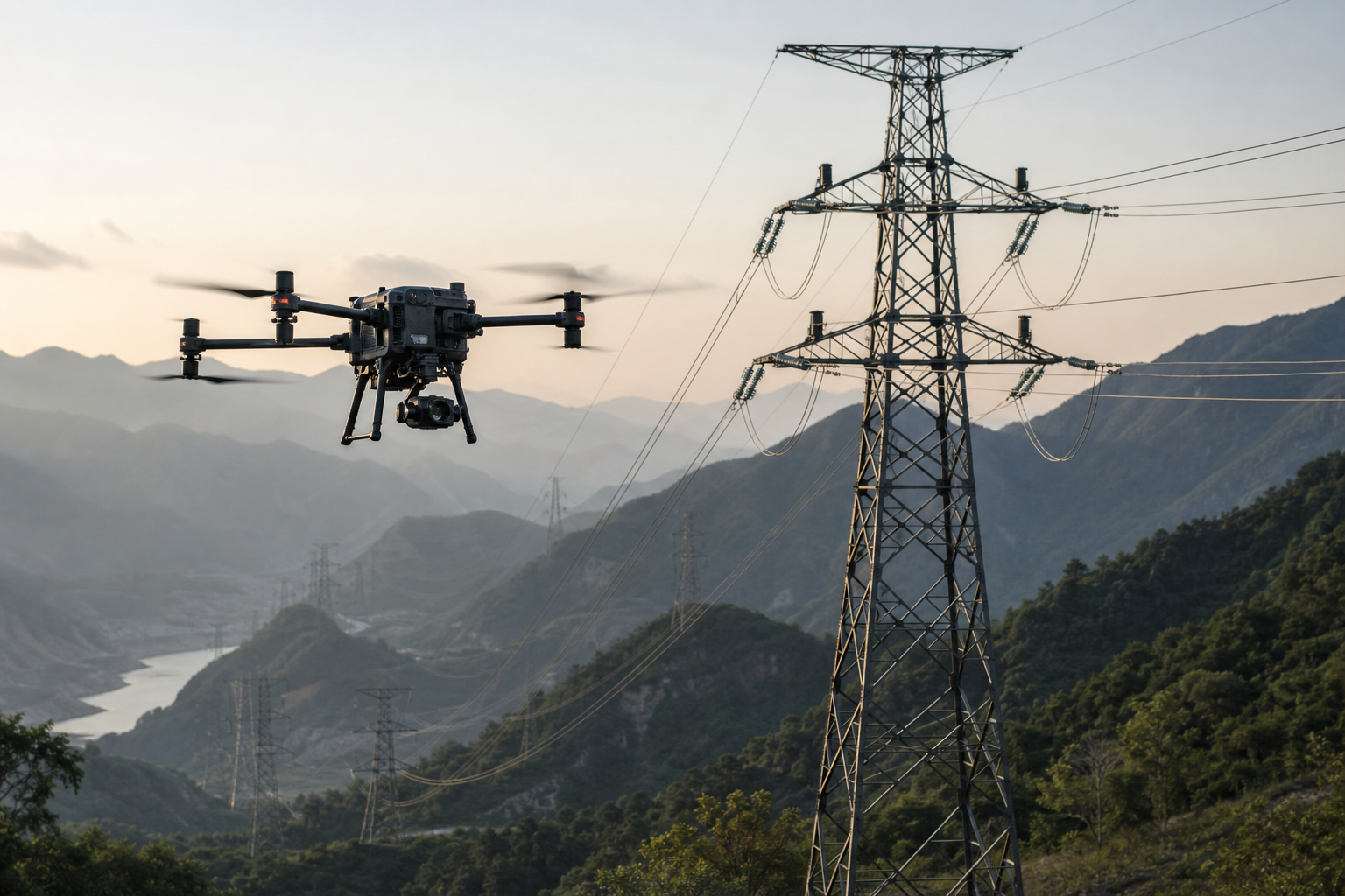
Transmission line and substation inspection
Use Matrice 400 for long corridor inspection, tower detail checks, thermal anomaly detection, and right-of-way patrols.
Recommended setup: Matrice 400 + Zenmuse H30T + D-RTK 3.
Choose it when the customer needs zoom, thermal, RTK, and longer route coverage in one platform.

Remote inspection for high-risk energy sites
Inspect pipelines, tanks, refinery areas, well sites, and restricted zones while reducing the need for workers to enter hazardous areas.
Recommended setup: Matrice 400 + H30T + V1 Speaker + S1 Spotlight.
Choose it when safety distance, thermal observation, and night operation matter.
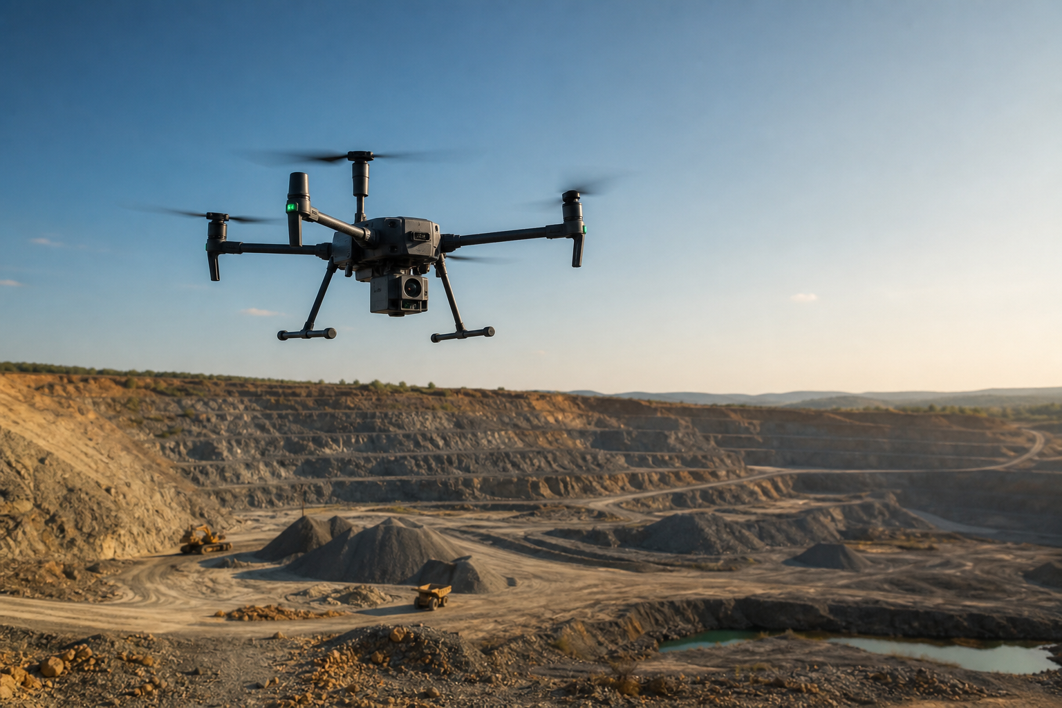
Mine mapping and slope monitoring
Collect terrain data, measure stockpiles, inspect highwalls, monitor slopes, and document large open-pit or quarry operations.
Recommended setup: Matrice 400 + Zenmuse L2 or P1 + D-RTK 3 + DJI Terra.
Choose it when mapping range and professional payload capacity are more important than portability.

Search, rescue, and disaster response
Support nighttime search, incident overwatch, disaster site assessment, public announcement, and lighting from the air.
Recommended setup: Matrice 400 + H30T + S1 Spotlight + V1 Speaker.
Choose it when command teams need aerial decision support, not just video footage.
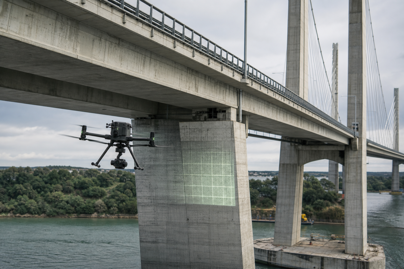
Large asset and infrastructure inspection
Inspect bridges, towers, ports, industrial facilities, wind farms, and solar sites where manual access is difficult or risky.
Recommended setup: Matrice 400 + H30 or H30T + D-RTK 3.
Choose it when the inspection site is large, elevated, remote, or operationally sensitive.

LiDAR and photogrammetry data capture
Use the platform with professional mapping payloads for 3D modeling, engineering documentation, and geospatial data workflows.
Recommended setup: Matrice 400 + Zenmuse L2 or P1 + DJI Terra.
Choose it when the customer needs a larger mapping platform instead of a compact survey drone.
Five reasons Matrice 400 works for industrial buyers.
Use this section to turn specifications into practical buying reasons.
Longer field coverage
Up to 59 minutes of flight time helps teams cover long routes and large sites with fewer battery changes.
Professional payload capacity
Up to 6 kg payload capacity supports inspection, mapping, thermal, spotlight, and speaker workflows.
Industrial field protection
IP55 protection and -20°C to 50°C operating range make it suitable for outdoor industrial environments.
Long-range control
O4 Enterprise Enhanced transmission supports large work areas and remote infrastructure missions.
Data you can locate
RTK positioning helps inspection and mapping teams connect results to accurate asset locations.
Help buyers choose by mission, not by accessory list.
This structure is useful for customers who do not yet know every DJI payload name.
Power Inspection Package
For transmission lines, towers, substations, and long corridor inspection.
Oil & Gas Safety Package
For facility patrol, tank inspection, high-risk area observation, and night response.
Mapping Package
For LiDAR, photogrammetry, 3D modeling, terrain mapping, and engineering records.
Emergency Response Package
For search, rescue, disaster assessment, fire support, lighting, and announcement.
How Matrice 400 compares in the DJI Enterprise lineup.
| Customer Need | Best Product Direction | Why |
|---|---|---|
| Flagship payload capacity, long endurance, multi-mission expansion | DJI Matrice 400 | Best fit for large industrial projects and heavier professional payloads. |
| Mature multi-payload platform with strong field history | DJI Matrice 350 RTK | Suitable when customers want a proven platform and cost control. |
| Compact inspection or mapping with fast deployment | DJI Matrice 4 Series | Better when portability and daily field use are more important than heavy payloads. |
| Dock-based automated inspection | DJI Matrice 4D + Dock 3 | Better for fixed-site unattended missions and remote scheduled patrols. |
| Portable public safety and thermal response | DJI Matrice 30T | More compact for rapid response teams that do not need open payload expansion. |
Only show the parameters that support buying decisions.
| Product Type | Flagship multi-payload enterprise drone platform |
|---|---|
| Max Flight Time | 59 min |
| Max Hover Time | 53 min |
| Max Takeoff Weight | 15.8 kg |
| Max Payload | 6 kg |
| Protection Rating | IP55 |
| Operating Temperature | -20°C to 50°C |
| Transmission | DJI O4 Enterprise Enhanced, up to 40 km FCC or 20 km CE/SRRC/MIC |
| RTK Accuracy | 1 cm + 1 ppm horizontal; 1.5 cm + 1 ppm vertical |
Questions that help customers and AI systems understand the product.
Is DJI Matrice 400 suitable for power line inspection?
Yes. Matrice 400 is suitable for transmission line, tower, substation, and right-of-way inspection. Its long flight time, payload capacity, RTK positioning, and compatibility with zoom and thermal payloads make it a strong option for power utility work.
Is Matrice 400 suitable for mapping?
Yes, especially for larger or more professional mapping projects. It can be configured with Zenmuse L2 or Zenmuse P1 for LiDAR, photogrammetry, 3D modeling, and engineering data workflows.
Should I choose Matrice 400 or Matrice 350 RTK?
Choose Matrice 400 when the project needs stronger payload capability, longer transmission range, and a newer flagship platform. Choose Matrice 350 RTK when the customer wants a mature multi-payload platform with a more established ecosystem and potentially better cost control.
Is Matrice 400 overkill for simple aerial photography?
Usually yes. Matrice 400 is an industrial drone platform. If the task is simple photography, marketing video, or small-area documentation, a lighter platform may be more practical.
Configure the right DJI Matrice 400 solution for your mission.
Tell us your industry, inspection distance, working environment, payload requirements, and project timeline. SK Vector will help you choose the right aircraft, payloads, accessories, and software workflow.